| Eradu Western Australia | |
|---|---|
 Eradu | |
| Coordinates | 28°41′S115°02′E / 28.683°S 115.033°E Coordinates: 28°41′S115°02′E / 28.683°S 115.033°E |
| Established | 1920 |
| Postcode(s) | 6532 |
| Elevation | 177 m (581 ft) |
| Location | |
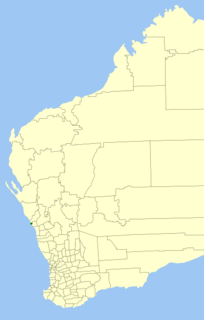
| LGA(s) | City of Greater Geraldton |
| State electorate(s) | Moore |
| Federal Division(s) | Durack |
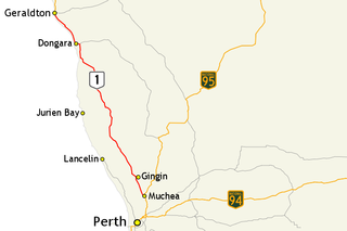
Eradu is a small town in Western Australia located in the Mid West region of Western Australia 34 kilometres (21 mi) east of Geraldton on the Geraldton-Mount Magnet road.

The Mid West region is one of the nine regions of Western Australia. It is a sparsely populated region extending from the west coast of Western Australia, about 200 kilometres (120 mi) north and south of its administrative centre of Geraldton and inland to 450 kilometres (280 mi) east of Wiluna in the Gibson Desert.

Western Australia is a state occupying the entire western third of Australia. It is bounded by the Indian Ocean to the north and west, and the Southern Ocean to the south, the Northern Territory to the north-east, and South Australia to the south-east. Western Australia is Australia's largest state, with a total land area of 2,529,875 square kilometres, and the second-largest country subdivision in the world, surpassed only by Russia's Sakha Republic. The state has about 2.6 million inhabitants – around 11 percent of the national total – of whom the vast majority live in the south-west corner, 79 per cent of the population living in the Perth area, leaving the remainder of the state sparsely populated.
Geraldton is a coastal city in the Mid West region of Western Australia, 424 kilometres (263 mi) north of Perth.
Following the opening of the Nangulu-Mullewa railway line in 1894 a station was opened at the location of the current town-site. The name of the station was Greenough River until 1903. It remained a station with a station master from 1915 to 1921 and was gazetted as a town in 1920. [1] The station later became a siding until it was closed in 1973.

Mullewa is a town in the Mid West region of Western Australia, 450 kilometres (280 mi) north of Perth and 98 kilometres (61 mi) east-northeast of Geraldton. Mullewa is well known for an abundance of wildflowers in spring and it is one of the few places in Western Australia that the wreath flower grows. The surrounding areas produce wheat and other cereal crops. The town is a receival site for Cooperative Bulk Handling.
The Greenough River is a river in the Mid West region of Western Australia.
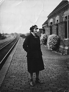
The station master is the person in charge of a railway station, particularly in the United Kingdom and many other countries outside North America. In the United Kingdom, where the term originated, it is now largely historical or colloquial, with the contemporary term being station manager. However, the term station master remains current on many heritage railways, and also in many countries outside the United Kingdom, notably the extensive Indian Railways network.
The name is Aboriginal in origin and is the name of a pool found in the nearby Greenough River.