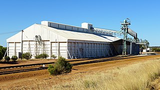
Narembeen is a town in the Western Australia wheatbelt. It is 286 km, almost due east, from Perth, the capital of WA. It is the major settlement in the Shire of Narembeen, in which the major industries are growing cereal crops and raising cattle and sheep. The surrounding areas produce wheat and other cereal crops. The town is a receival site for Cooperative Bulk Handling.

Burracoppin is a townsite on the Great Eastern Highway, east of Merredin in the Wheatbelt region of Western Australia.

Bodallin is a town located around half way between Merredin and Southern Cross in Western Australia.

Moora is a townsite located 177 km north of Perth in the Wheatbelt region of Western Australia. Moora was one of the original stations on the Midland railway line to Walkaway, and the townsite was gazetted in 1895. At the 2016 census, Moora had a population of 1,773.

The town of Hyden is located 292 kilometres (181 mi) east-southeast of Perth, Western Australia in the Shire of Kondinin. Hyden is home to Wave Rock, Mulka's Cave and Hippos Yawn, all popular local tourist attractions.

Meckering is a town 130 kilometres (80.8 mi) east of Perth, Western Australia along the Great Eastern Highway. Meckering is located within the Shire of Cunderdin.

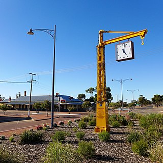
Bruce Rock is a town in the eastern Wheatbelt region of Western Australia, approximately 243 kilometres (151 mi) east of Perth and 48 kilometres (30 mi) southwest of Merredin. It is the main town in the Shire of Bruce Rock.

Carnamah is a town in the Mid West region of Western Australia, about 307 kilometres (191 mi) north of Perth along the Midlands Road. According to 2006 census, the population of the town is approximately 496.
Arrino is a small town in the Mid West region of Western Australia. The town is located between Mingenew and Three Springs on the Midlands Road.
Bonnie Rock is a small town in the Wheatbelt region of Western Australia.
Bullaring is a small town located in the Shire of Corrigin in the Wheatbelt region of Western Australia.
Kulja is a small town in the Wheatbelt region of Western Australia. The town is situated along the Bonnie Rock to Burakin Road.

Latham is a small town in the Mid West region of Western Australia.

Maya is a small town in the Mid West region of Western Australia.

Kununoppin is a small town in the Wheatbelt region of Western Australia. The town is located on the Nungarin–Wyalkatchem Road and in the Shire of Trayning local government area, 257 kilometres (160 mi) north east of the state capital, Perth, Western Australia. At the 2006 census, Kununoppin had a population of 151.
Bowgada is a small town in Western Australia located on the Mullewa Wubin Road 366 kilometres (227 mi) north of Perth in the Mid West region.
Bunjil is a small town in Western Australia located on the Mullewa Wubin Road 326 kilometres (203 mi) north of Perth in the Mid West Region. At the 2016 census, it had a population of 60.
Jerdacuttup is a small town in Western Australia 584 kilometres (363 mi) east-south-east of Perth between Ravensthorpe and Hopetoun in the Goldfields-Esperance region of Western Australia. At the 2006 census, Jerdacuttup had a population of six.
Pintharuka is an abandoned townsite in the Mid West region of Western Australia. The town is located between the towns of Morawa and Mullewa on the Mullewa-Wubin Road
Muntadgin is a townsite off the Great Eastern Highway on Brissenden Road, situated between the towns of Bruce Rock and Southern Cross in the Wheatbelt region of Western Australia. At the 2016 census, Muntadgin had a population of 51.
