
Manatee County is a county in the U.S. state of Florida. As of the 2020 U.S. Census, the population was 399,710. Manatee County is part of the North Port-Bradenton-Sarasota, Florida Metropolitan Statistical Area. Its county seat and largest city is Bradenton. The county was created in 1855 and named for the Florida manatee, Florida's official marine mammal. Features of Manatee County include access to the southern part of the Tampa Bay estuary, the Sunshine Skyway Bridge, and the Manatee River.

Zolfo Springs is a town in Hardee County, Florida, United States. It is part of the Florida Heartland region. The population was 1,737 at the 2020 census.
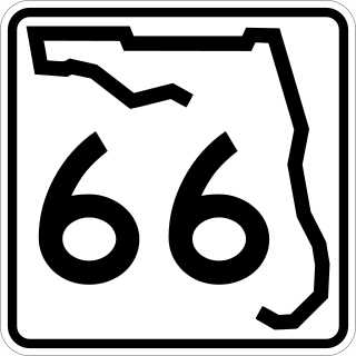
State Road 66 is a 25-mile-long east–west state highway in Hardee County and Highlands County. Its western terminus is an intersection with US 17 in Zolfo Springs; the eastern terminus is an intersection with US 27-98 near DeSoto City. The eastern continuation of SR 66 is eastbound US 98-SR 700 toward Okeechobee and West Palm Beach.

Stretching 148 miles (238 km) across the Florida peninsula, State Road 70 spans five Florida counties and straddles the northern boundaries of two more. Its western terminus is at US 41 south of Bradenton ; its eastern terminus is an intersection of Virginia Avenue and South Fourth Street in Fort Pierce.

State Road 789 is a 17.5-mile-long road along the Florida’s Gulf Coast that spans Bird Key, St. Armands Key, and Lido Key, in Sarasota; Longboat Key ; and Anna Maria Island. The southern terminus is the intersection of the John Ringling Causeway and Tamiami Trail in Sarasota; the northern terminus is the intersection of Gulf Drive, North and Manatee Avenue., West in Holmes Beach. Much of the northernmost five miles (8 km) has been designated Bradenton Beach Scenic Highway.
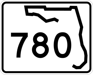
State Road 780, known as Fruitville Road, is a 5-mile-long (8.0 km) east–west street in Sarasota, Florida. The western terminus is an intersection with US 301/SR 683. The eastern terminus is east of an interchange with Interstate 75 in Fruitville, where the road continues east as County Road 780. West of US 301, Fruitville Road extends one mile (1.6 km) west of the end of SR 780, ending at an intersection with the Tamiami Trail in Downtown Sarasota.

The Sarasota metropolitan area is a metropolitan area located in Southwest Florida. The metropolitan area is defined by the Office of Management and Budget (OMB) as the North Port–Bradenton–Sarasota Metropolitan Statistical Area, a metropolitan statistical area (MSA) consisting of Manatee County and Sarasota County. The principal cities listed by the OMB for the MSA are North Port, Bradenton, Sarasota, Lakewood Ranch, and Venice. At the 2020 census, the MSA had a population of 833,716. The Census Bureau estimates that its population was 891,411 in 2022.

State Road 55 is mainly the internal or secret designation of U.S. Route 19 through Florida, although it has appeared on maps and atlases on several occasions. State Road 55 originates at the Georgia state line north of Ashville, and ends at SR 684 in Bradenton. North of Perry, it is the secret route for US 221, continuing north into Georgia as Georgia State Route 76. South of Memphis, it is a secret designation for US 41; it is also a secret designation for US 301 in the Bradenton - Palmetto area, along a segment co-signed with US 41.

U.S. Highway 17 (US 17) in Florida is a north–south United States Numbered Highway that runs 317 miles (510 km) from the Punta Gorda, Florida Metropolitan Statistical Area northeast to the Jacksonville metropolitan area.

U.S. Highway 27 (US 27) in Florida is a north–south United States Numbered Highway. It runs 496.352 miles (798.801 km) from the Miami metropolitan area northwest to the Tallahassee metropolitan area. Throughout the state, US 27 has been designated the Claude Pepper Memorial Highway by the Florida Legislature. It was named after long-time Florida statesperson Claude Pepper, who served in both the U.S. Senate and House of Representatives. The stretch running from Miami to South Bay was originally designated the Thomas E. Will Memorial Highway by the Florida Legislature in 1937 when that portion was known as State Road 26 (SR 26). Thomas E. Will, the founder of Okeelanta, had worked for almost 20 years to get the state to build a road from Miami to the area south of Lake Okeechobee. For most of its length in the state, US 27 is a divided highway.

U.S. Highway 41 (US 41) in the state of Florida is a north–south United States Highway. It runs 479 miles (771 km) from Miami in South Florida northwest to the Georgia state line north of the Lake City area. Within the state, US 41 is paralleled by Interstate 75 (I-75) all the way from Miami to Georgia, and I-75 has largely supplanted US 41 as a major highway.

U.S. Route 98 is a major east-west thoroughfare through the U.S. state of Florida. Spanning 670.959 miles (1,079.804 km), it connects Pensacola and the Alabama/Florida state line to the west with Palm Beach and the Atlantic coast in the east. It is the longest US road in Florida, as well as the longest US road in any state east of the Mississippi River.

U.S. Route 301 in Florida runs from the Sarasota-Bradenton-Venice, Florida Metropolitan Statistical Area northeast to the Greater Jacksonville Metropolitan Area. The road is a spur of U.S. Route 1, which it intersects in Callahan.
Sweetwater Ranch is an Unincorporated community in the southeast section of Hardee County, Florida, United States. Long/Lat: 27°24.6’ N and 81°42.2’ W Peak altitude is 82 feet, but the topography varies. Sweetwater is 15 minutes by car southeast of Zolfo Springs, Florida, and is bordered by U.S. 17 to the west, SR 66 to the North, and the unincorporated communities of Crewsville to the east and Fish Branch/Gardner to the South. It contains a significant portion of the Oak Creek watershed and borders on the Charley Creek watershed, both of which empty into Peace River. For many years, Sweetwater was the location of Hardee County's only lake, Lake Frances, which is privately owned. Sweetwater is only 15 minutes from Highlands Hammock State Park, and 20 minutes by car from Highlands County, and the city of Sebring, which offers regional shopping, recreational and medical centers.

Anna Maria Island is a barrier island on the coast of Manatee County, Florida, in the United States. It is bounded on the west by the Gulf of Mexico, on the south by Longboat Pass, on the east by Anna Maria Sound, and on the north by Tampa Bay. Anna Maria Island is approximately 7 miles (11 km) long north to south.
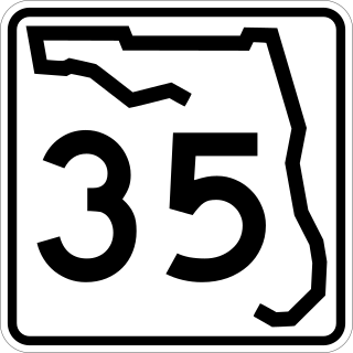
State Road 35 is a north–south state highway in the western counties of the U.S. state of Florida.

State Road 684 is a state road located in Manatee County, Florida, United States. The road runs from an intersection with SR 789 in Bradenton Beach east to U.S. Route 41 and unsigned SR 55 in South Bradenton. SR 684 is known as Cortez Road its entire length and varies from a two-lane road between Bradenton Beach and Cortez to a four- to six-lane road east of Cortez. The easternmost portion of SR 684 is concurrent with US 41 and is unsigned.

County Road 610 (CR 610), locally known as University Parkway, is a seven-mile-long (11 km) county route in Sarasota County and Manatee County, Florida. It is a major commuter route from U.S. Highway 41 (US 41) to Interstate 75 (I-75) and it is the primary access road for Sarasota–Bradenton International Airport.


