
Netherside Stream Outcrops is a 2.9-hectare (7.2-acre) geological Site of Special Scientific Interest north-east of Haslemere in Surrey. It is a Geological Conservation Review site.

Southerham Grey Pit is a 8.5-hectare (21-acre) geological Site of Special Scientific Interest south-east of Lewes in East Sussex. It is a Geological Conservation Review site.

Hastingford Cutting is a 0.04-hectare (0.099-acre) geological Site of Special Scientific Interest south of Crowborough in East Sussex. It is a Geological Conservation Review site.

Brede Pit and Cutting is a 0.6-hectare (1.5-acre) geological Site of Special Scientific Interest in Brede in East Sussex. It is a Geological Conservation Review site.

Winchelsea Cutting is a 0.15-hectare (0.37-acre) geological Site of Special Scientific Interest on the southern outskirts of Winchelsea in East Sussex. It is a Geological Conservation Review site.

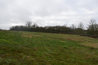
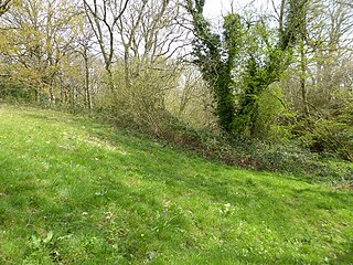
Turners Hill SSSI is a 0.2-hectare (0.49-acre) geological Site of Special Scientific Interest in Turners Hill in West Sussex. It is a Geological Conservation Review site.

West Hoathly SSSI is a 0.7-hectare (1.7-acre) geological Site of Special Scientific Interest in Sharpthorne in West Sussex. It is a Geological Conservation Review site.

Stone Farm Rocks or Stone Hill Rocks is a 0.6-hectare (1.5-acre) geological Site of Special Scientific Interest south of East Grinstead in West Sussex. It is a Geological Conservation Review site.
Stone SSSI is a 0.12-hectare (0.30-acre) geological Site of Special Scientific Interest in Stone in Buckinghamshire. It is listed by the Joint Nature Conservation Committee as a Geological Conservation Review site.

Pembury Cutting and Pit is a 1.6-hectare (4.0-acre) geological Site of Special Scientific Interest east of Tunbridge Wells in Kent. It is a Geological Conservation Review site.

Southborough Pit is a 1.1-hectare (2.7-acre) geological Site of Special Scientific Interest in Tunbridge Wells in Kent. It is a Geological Conservation Review site.

Scaynes Hill is a 0.04-hectare (0.099-acre) geological Site of Special Scientific Interest north-west of Newick in East Sussex. It is a Geological Conservation Review site.

Coneyhurst Cutting is a 0.2-hectare (0.49-acre) geological Site of Special Scientific Interest south-east of Billingshurst in West Sussex. It is a Geological Conservation Review site.
Coppedhall Hanger is a 0.6-hectare (1.5-acre) geological Site of Special Scientific Interest north of Billingshurst in West Sussex. It is a Geological Conservation Review site.

Slinfold Stream and Quarry is a 2.3-hectare (5.7-acre) geological Site of Special Scientific Interest west of Horsham in West Sussex. It is a Geological Conservation Review site.

Chantry Mill is a 8.7-hectare (21-acre) geological Site of Special Scientific Interest in Storrington in West Sussex. It is a Geological Conservation Review site.

Warnham SSSI is a 28.5-hectare (70-acre) geological Site of Special Scientific Interest north of Horsham in West Sussex. It is a Geological Conservation Review site.

Philpot's and Hook Quarries is a 2.6-hectare (6.4-acre) geological Site of Special Scientific Interest south-west of Sharpthorne in West Sussex. It is a Geological Conservation Review site.

Perry Copse Outcrop is a 0.2-hectare (0.49-acre) geological Site of Special Scientific Interest in Fernhurst in West Sussex. It is a Geological Conservation Review site.
