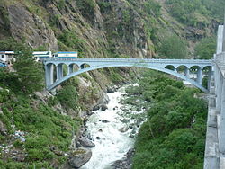
List of rivers of Nepal

Last updated

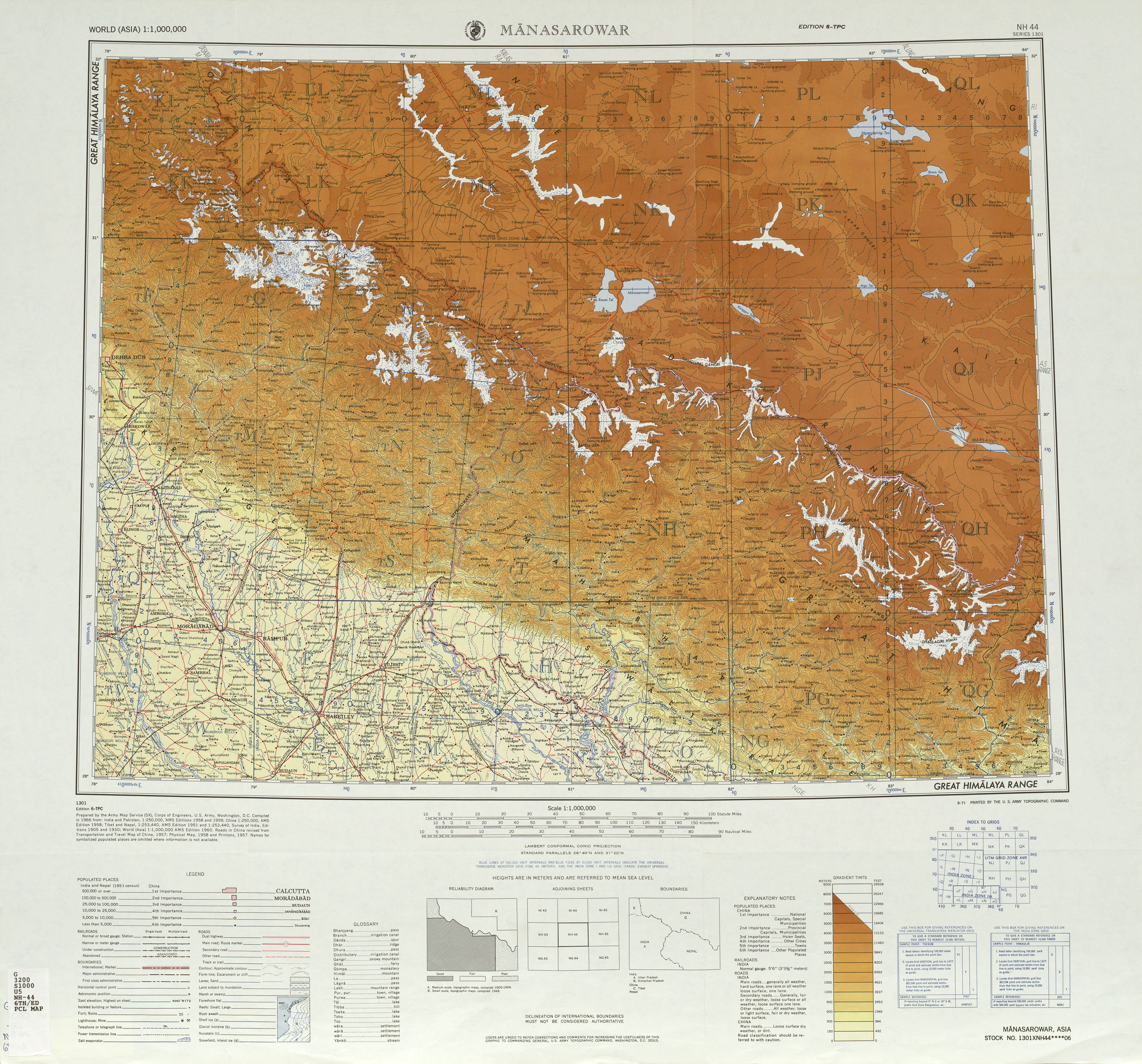
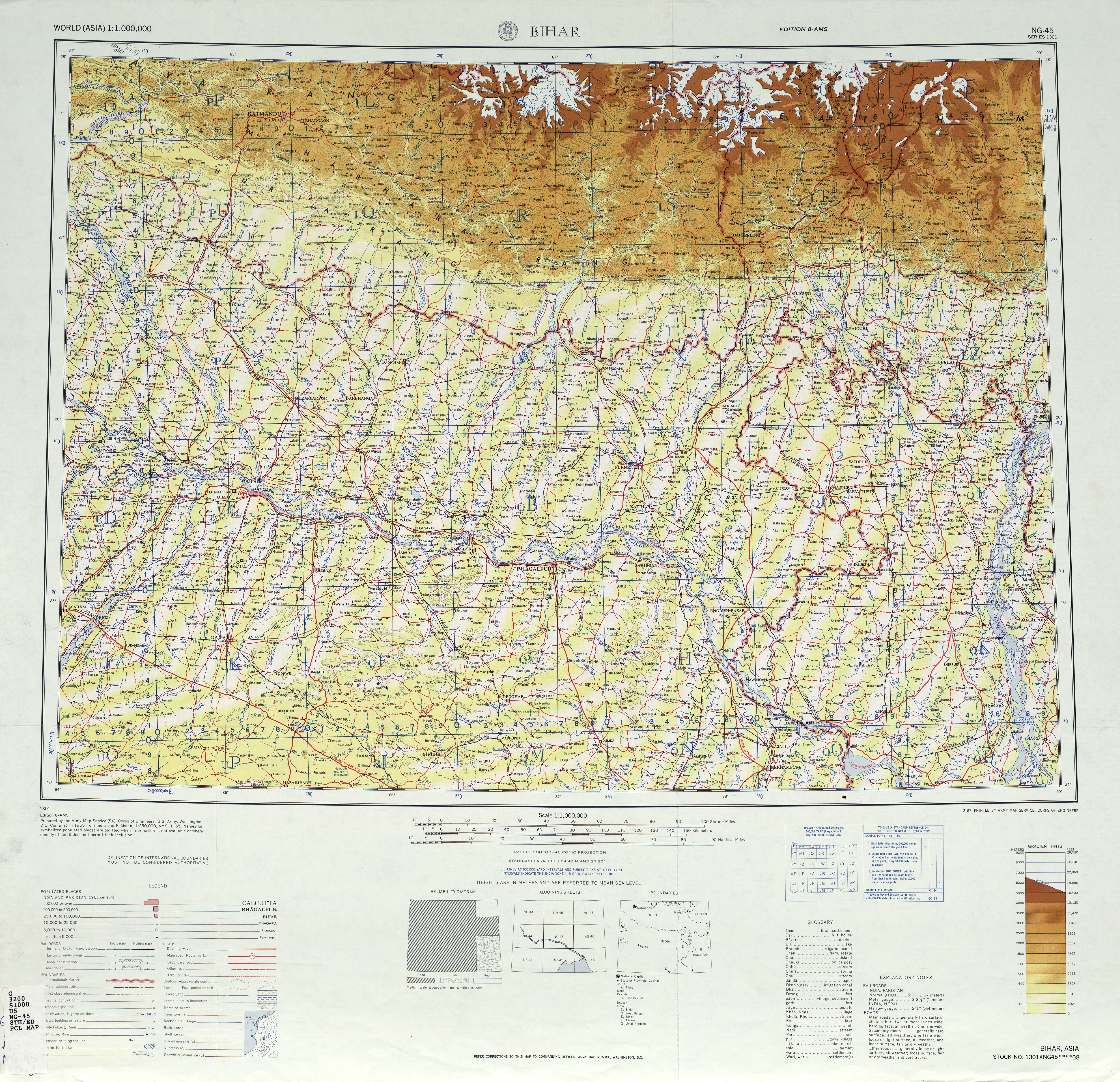
This is a list of rivers of Nepal, east to west. This list is arranged by drainage basin, indented to show the structure of confluences. [1] Tributaries rising inside India are not shown.

Contents

The basin is generally categorized into ten major basins as listed below. [2]

Kankai river basin

Koshi river basin

Sunkoshi river near Nepal-China border The Friendship Bridge connecting China with Nepal.jpg
Sunkoshi river near Nepal-China border
Saptakoshi river at Sunsari District of Nepal Koshi Barrage Original.jpg
Saptakoshi river at Sunsari District of Nepal

Bagmati river basin

Bagmati river in Pashupatinath Pashupatinath2.jpg
Bagmati river in Pashupatinath

Gandaki river basin

West Rapti river basin

Babai river basin

Babai River Babai River.jpg
Babai River

Karnali river basin

Mahakali river basin

Other minor river basins

See also

Related Research Articles

<span class="mw-page-title-main">Geography of Nepal</span>

Nepal measures about 880 kilometers (547 mi) along its Himalayan axis by 150 to 250 kilometers across. It has an area of 147,516 km2 (56,956 sq mi).

<span class="mw-page-title-main">Rapti Zone</span> Zone in Nepal

Rapti Zone was one of the fourteen zones, located in the Mid-Western Development Region of Nepal. It was named after the West Rapti River which drains Rolpa, Pyuthan and part of Dang districts. The remainder of Dang and part of Salyan district are drained by the Babai. The remainder of Salyan and all of Rukum districts are drained by the Bheri.

<span class="mw-page-title-main">Bagmati River</span> River in Nepal

The Bagmati River flows through the Kathmandu valley of Nepal, separating the cities of Kathmandu and Patan, before flowing through Madesh Province of southern Nepal and joining the Kamla River in the Indian state of Bihar. It is considered holy by both Hindus and Buddhists. A number of Hindu temples are located on its banks.

<span class="mw-page-title-main">Thakali people</span> Ethnolinguistic group

The Thakali are an ethnolinguistic Tibeto-Burman ethnic group of Nepal. The traditional area of the Thakali community is called Thak-sat-se or the Thak Khola region and lies in the Kali Gandaki River valley in the Mustang District, Gandaki Province in western Nepal. According to the 2001 census, the Thakali population of around 12,973 constituted only 0.06% of Nepal's population. By the 2011 Nepal census, there were 13,215 Thakali people in Nepal.

<span class="mw-page-title-main">Ghaghara</span> Asian river and tributary of the Ganges

The Ghaghara River, called Karnali River in Nepal, Mapcha Tsangpo in Tibet, and the lower Ghaghara in Awadh called Sarayu River, is a perennial trans-boundary river that originates in the northern slopes of the Himalayas in the Tibetan Plateau, cuts through the Himalayas in Nepal and joins the Sharda River at Brahmaghat in India. Together they form the Ghaghara River, a major left-bank tributary of the Ganges. With a length of 507 km (315 mi), it is the longest river in Nepal. The total length of the Ghaghara up to its confluence with the Ganges at Revelganj in Bihar is 1,080 km (670 mi). It is the largest tributary of the Ganges by volume and the second largest by length after Yamuna.

<span class="mw-page-title-main">Gandaki River</span> River in Nepal and India

The Gandaki River, also known as the Narayani and Gandak, is one of the major rivers in Nepal and a left-bank tributary of the Ganges in India. Its total catchment area is 46,300 km2 (17,900 sq mi), most of it in Nepal. In the Nepal Himalayas, the Gandaki is notable for its deep canyon. The basin also contains three mountains over 8,000 m (26,000 ft), namely Dhaulagiri, Manaslu and Annapurna Massif. Dhaulagiri is the highest point of the Gandaki basin.

<span class="mw-page-title-main">Pyuthan District</span> District in Lumbini Province, Nepal

Pyuthan District (Nepali: प्युठान जिल्ला, is a "hill" district some 427.6 km west of Kathmandu in Lumbini Province in midwestern Nepal. Pyuthan covers an area of 1,309 km2 with population of 212,484 in 2001 and 226,796 in 2011. Pyuthan Khalanga is the district's administrative center.

The Kham Magars, also known in scholarship as the Northern Magars, are a Tibeto-Burman language-speaking indigenous ethnic tribal community native to Nepal. In general, Kham Magars refer to themselves using their clan name and the ethnic identity of Magar. Kham Magar clan names include Budha, Gharti, Pun, and Rokha. The language of the Kham Magars is call Magar Kham among other glottonyms. It is estimated that about 71,000 Kham Magars live in the Middle Hills of mid-western Nepal, in the districts of Rukum, Rolpa, and Baglung. Scattered communities also live in Jajarkot, Dailekh, Kalikot, Achham, and Doti districts as well as in the capital city of Kathmandu.

Magar Dhut is a Sino-Tibetan language spoken mainly in Nepal, southern Bhutan, and in Darjeeling and Sikkim, India, by the Magar people. It is divided into two groups and further dialect divisions give distinct tribal identity. In Nepal 788,530 people speak the language.

<span class="mw-page-title-main">Thuli Bheri River</span> River in Nepal

Thuli Bheri River, a tributary of Bheri River which in turn is the tributary of the Karnali River. It starts in the Chharka region of Dolpa District where it is known as the Bhargung Khola (river).

Dhorpatan is a municipality in Nepal's Baglung District, 3,900 meters elevation in an east–west valley south of the Dhaulagiri mountain range in the Himalayas. It is the headquarters of Dhorpatan Hunting Reserve. There is a small community of indigenous Kham Magar people as well as Tibetan refugees.

The Inner Terai Valleys of Nepal comprise several elongated river valleys in the southern lowland Terai part of the country. These tropical valleys are enclosed by the Himalayan foothills, viz the Mahabharat Range and the Sivalik Hills farther south.

<span class="mw-page-title-main">Mid-Western Development Region, Nepal</span> Regions in Mid-Western Development Region, Nepal

The Mid-Western Development Region was one of the largest and formerly one of Nepal's five development regions. Westward from the Central region surrounding Kathmandu were the Western, Mid-Western and finally Far-Western regions. Counter-intuitively, Mid-Western lay west of Western.

<span class="mw-page-title-main">West Rapti River</span> River in Nepal

West Rapti, also known as the Kuwano, is a river which drains Rapti Zone in Mid-Western Region, Nepal, then Awadh and Purvanchal regions of Uttar Pradesh state, and finally India before joining the Ghaghara. It is a major left bank tributary of the Ganges, and is also known as the Karnali inside Nepal.

<span class="mw-page-title-main">Seti Gandaki River</span> River in Nepal

The Seti Gandaki River, also known as the Seti River or the Milk River, is a river of western Nepal, a left tributary of the Trishuli River. Its gorges around Pokhara are a major attraction for tourists worldwide.

<span class="mw-page-title-main">Karnali Province</span> Province of Nepal

Karnali Province is one of the seven federal provinces of Nepal formed by the new constitution, which was adopted on 20 September 2015. The total area of the province is 27,984 square kilometres (10,805 sq mi), making it the largest province in Nepal with 18.97% of the country's area. According to the 2011 Nepal census, the population of the province was 1,570,418, making it the least populous province in Nepal. The province borders the Tibet Autonomous Region of China to the north, Gandaki Province to the east, Sudurpashchim Province to the west, and Lumbini Province to the south. Birendranagar with a population of 154,886 is both the province's capital and largest city.

The Budhi Gandaki Hydroelectric Project is a proposed hydroelectric power plant in Nepal, to be developed by Nepal Electricity Authority (NEA).

Gold is mined in a primitive way in Nepal. The locals pan the gold from the river sediments in the banks of major rivers mainly Mahakali river, Jamari Gad, Chameliya River, Karnali River, Rapti River, Bheri River, Phagum Khola, Madi River, Kali Gandaki River, Marshyangdi river, Budhi Gandaki River and Sunkoshi River. A major gold occurrences is found in Lungri Khola around the banks at Bamangaon, Jamarigad and Gorang Bangabagara. The alluvial plains in the south are also considered to have a deposit of gold.

References

  1. Major Rivers (Map). 1:2000000. Kathmandu: Central Bureau of Statistics (CBS), Nepal. Archived from the original on 2 September 2018.
  2. Gautam, Mahesh; Acharya, K. (2012-02-01). "Streamflow trends in Nepal". Hydrological Sciences Journal. 57 (2): 344–357. doi: 10.1080/02626667.2011.637042 . S2CID   129161876.