
Jonglei State is a state of South Sudan with Bor as its centre of government and the biggest city. Jonglei state comprises nine counties: Bor, Akobo, Ayod, Uror, Duk, Nyirol, Pigi, Twic East, and Fangak. Jonglei State is the largest state by area before reorganisation, with an area of approximately 122,581 km2, as well as the most populous according to the 2008 census conducted in present-day South Sudan's second period of autonomy. The boundaries of the state were again changed as a result of a peace agreement signed on 22 February 2020.
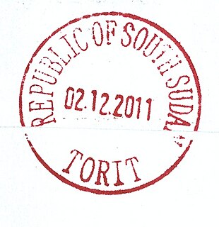
Torit is a city of Eastern Equatoria State in South Sudan.

Magwi County, also Magwe County, is a county in Eastern Equatoria, South Sudan.
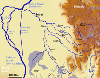
The Pibor River is a river in eastern South Sudan, which defines part of South Sudan's border with Ethiopia. From its source near Pibor Post it flows north for about 320 kilometres (200 mi), joining the Baro River to form the Sobat River, which is a tributary of the White Nile.

The flag of South Sudan was adopted following the signing of the Comprehensive Peace Agreement that ended the Second Sudanese Civil War. A similar version of the flag was previously used as the flag of the Sudan People's Liberation Movement. The flag of South Sudan is older than the country itself, as the flag was adopted in 2005, while the country became independent in 2011.
Pibor Airport is an airport serving the town of Pibor, in South Sudan.

Akobo is a town in South Sudan.

Kapoeta is a town in South Sudan. It is located in Kapoeta South County, in Eastern Equatoria State, in southeastern South Sudan.

Pibor, also called Pibor Post, is a town in South Sudan.

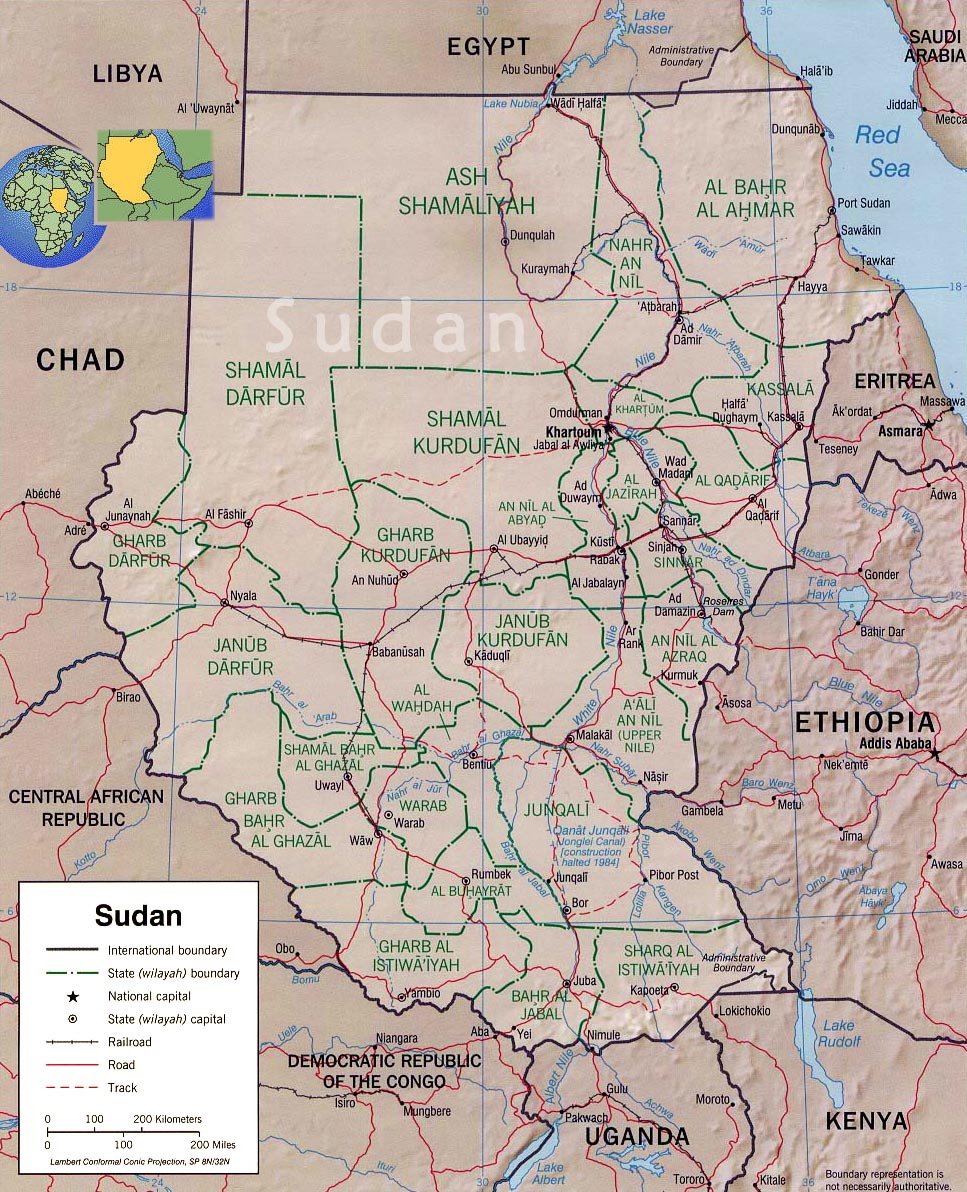
The States of South Sudan were created out of the three historic former provinces of Bahr el Ghazal (northwest), Equatoria (southern), and Greater Upper Nile (northeast). The states are further divided into 79 counties.
The Koss River is a river that flows in a north of northwest direction through the erstwhile Eastern Equatoria state of South Sudan, fed by streams from the Imatong Mountains to the west.

The Greater Upper Nile is a region of northeastern South Sudan. It is named for the White Nile, a tributary of the Nile River in North and East Africa.

The geography of South Sudan describes the physical features of South Sudan, a country in East Africa. South Sudan is a landlocked country and borders – clockwise – Sudan from the north, Ethiopia from the east, Kenya, Uganda and the Democratic Republic of the Congo from the south and the Central African Republic from the west.
The Kangen River is a river in South Sudan, just west of Boma National Park. It joins the Pibor River near Pibor.
The Southern Sudan Peace Commission (SSPC) was established in 2006. The purpose of the Peace Commission is promote peace among the people of South Sudan and to help consolidate the results of the Comprehensive Peace Agreement (CPA) signed in January 2005 between the Sudan People's Liberation Movement (SPLM) and the Government of Sudan.
The Agwei River or the River Agwei, also spelled Agvey, is a tributary of the Pibor River that flows through eastern South Sudan. Its own tributaries include the Abara and Kongkong rivers. The river is a wadi, or ravine, that may run dry during the dry season but quickly becomes a watercourse due to heavy rainfall during the wet season.
The Veveno River is a river in eastern South Sudan by the Imatong Mountains. It is a tributary of the Lotilla River, which it joins southwest of Pibor.
The Medikiret River, also known as simply Medikiret or the Mediket, is a wadi, or narrow ravine that becomes a watercourse during the wet season, in South Sudan. It feeds into marshes in Bandingilo National Park in Eastern Equatoria and Jonglei states from the south, meeting the marshes almost due north of Torit and about 238 kilometers north-north-east of Juba, the South Sudanese national capital.
The South Sudan Democratic Movement (SSDM), sometimes called the South Sudan Democratic Movement/Army (SSDM/A), was a South Sudanese militant group. Along with its armed wing, the South Sudan Defence Army (SSDA), rebelled against the government of South Sudan led by President Salva Kiir Mayardit and the Sudan People's Liberation Movement.

