Lyman, Wyoming

Last updated

Lyman, Wyoming
Uinta County Wyoming Incorporated and Unincorporated areas Lyman Highlighted 5648675.svg
Location of Lyman in Uinta County, Wyoming.
Usa edcp location map.svg
Red pog.svg
Lyman, Wyoming
Location in the United States
Coordinates: 41°19′40″N110°17′39″W / 41.32778°N 110.29417°W / 41.32778; -110.29417
Country United States
State Wyoming
County Uinta
Area
[1]
  Total1.55 sq mi (4.03 km2)
  Land1.55 sq mi (4.03 km2)
  Water0.00 sq mi (0.00 km2)
Elevation
[2]
6,706 ft (2,044 m)
Population
 (2010)
  Total2,115
  Density1,331.19/sq mi (513.94/km2)
Time zone UTC-7 (Mountain (MST))
  Summer (DST) UTC-6 (MDT)
ZIP code
82937
Area code 307
FIPS code 56-48675 [3]
GNIS feature ID1609117 [2]
Website Official website

Lyman is a town in Uinta County, Wyoming, United States. The population was 2,115 at the 2010 census. [4]

Contents

Geography

Lyman is located at 41°19′40″N110°17′39″W / 41.32778°N 110.29417°W / 41.32778; -110.29417 (41.327817, -110.294111). [5]

According to the United States Census Bureau, the town has a total area of 1.71 square miles (4.43 km2), all land. [6]

Demographics

Historical population
CensusPop.Note
1920 577
1930 377−34.7%
1940 3780.3%
1950 48327.8%
1960 425−12.0%
1970 64351.3%
1980 2,284255.2%
1990 1,896−17.0%
2000 1,9382.2%
2010 2,1159.1%
2019 (est.)2,070 [7] −2.1%
U.S. Decennial Census [8]

2010 census

As of the census [9] of 2010, there were 2,115 people, 744 households, and 566 families living in the town. The population density was 1,236.8 inhabitants per square mile (477.5/km2). There were 802 housing units at an average density of 469.0 per square mile (181.1/km2). The racial makeup of the town was 97.3% White, 0.1% African American, 0.6% Native American, 0.1% Asian, 0.1% Pacific Islander, 0.7% from other races, and 1.0% from two or more races. Hispanic or Latino of any race were 3.8% of the population.

There were 744 households, of which 41.7% had children under the age of 18 living with them, 65.2% were married couples living together, 7.1% had a female householder with no husband present, 3.8% had a male householder with no wife present, and 23.9% were non-families. 20.3% of all households were made up of individuals, and 7% had someone living alone who was 65 years of age or older. The average household size was 2.84 and the average family size was 3.31.

The median age in the town was 32.6 years. 32.9% of residents were under the age of 18; 8.1% were between the ages of 18 and 24; 24.2% were from 25 to 44; 26.3% were from 45 to 64; and 8.5% were 65 years of age or older. The gender makeup of the town was 50.4% male and 49.6% female.

2000 census

As of the census [3] of 2000, there were 1,938 people, 640 households, and 504 families living in the town. The population density was 1,326.7 people per square mile (512.5/km2). There were 708 housing units at an average density of 484.7 per square mile (187.2/km2). The racial makeup of the town was 98.30% White, 0.41% Native American, 0.10% Asian, 0.05% Pacific Islander, 0.62% from other races, and 0.52% from two or more races. Hispanic or Latino of any race were 2.53% of the population.

There were 640 households, out of which 47.3% had children under the age of 18 living with them, 64.2% were married couples living together, 9.1% had a female householder with no husband present, and 21.1% were non-families. 18.4% of all households were made up of individuals, and 6.3% had someone living alone who was 65 years of age or older. The average household size was 3.03 and the average family size was 3.48.

In the town, the population was spread out, with 36.5% under the age of 18, 10.5% from 18 to 24, 24.8% from 25 to 44, 22.0% from 45 to 64, and 6.2% who were 65 years of age or older. The median age was 28 years. For every 100 females, there were 106.4 males. For every 100 females age 18 and over, there were 96.3 males.

The median income for a household in the town was $50,550, and the median income for a family was $55,132. Males had a median income of $51,042 versus $17,917 for females. The per capita income for the town was $17,966. About 5.7% of families and 7.3% of the population were below the poverty line, including 8.7% of those under age 18 and 6.3% of those age 65 or over.

Education

Children aged five years old and up attend Urie Elementary School (Grades K-4), and Lyman High School (Grades 9–12), once they have progressed through Lyman Intermediate School (Grades 5–8).

Lyman has a public library, a branch of the Uinta County Library System. [10]

See also

Related Research Articles

<span class="mw-page-title-main">Saratoga, Wyoming</span> Town in Wyoming, United States

Saratoga is a town in Carbon County, Wyoming, United States. The population was 1,690 at the 2010 census.
<span class="mw-page-title-main">Lyman, Nebraska</span> Village in Scotts Bluff County, Nebraska, United States

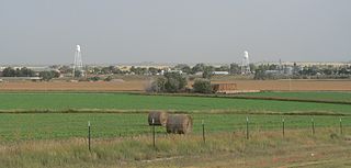
Lyman is a village in Scotts Bluff County, Nebraska, United States. It is part of the Scottsbluff, Nebraska Micropolitan Statistical Area. The population was 341 at the 2010 census.

<span class="mw-page-title-main">Lyman, New Hampshire</span> Town in New Hampshire, United States

Lyman is a town in Grafton County, New Hampshire, United States. The population was 585 at the 2020 census.

<span class="mw-page-title-main">Brecknock Township, Lancaster County, Pennsylvania</span> Township in Pennsylvania, United States

Brecknock Township is a township in northeastern Lancaster County, Pennsylvania, United States. The population was 7,585 at the 2020 census.

<span class="mw-page-title-main">Exeter Township, Luzerne County, Pennsylvania</span> Township in Pennsylvania, United States

Exeter Township is a township within the Greater Pittston area of Luzerne County, Pennsylvania, United States. The population was 2,047 at the 2020 census. Upper Exeter and Harding are two villages in the township.

<span class="mw-page-title-main">South Franklin Township, Pennsylvania</span> Township in Pennsylvania, United States

South Franklin Township is a township in Washington County, Pennsylvania, United States. The population was 2,864 at the 2020 census.
<span class="mw-page-title-main">Wyoming, Iowa County, Wisconsin</span> Town in Wisconsin, United States

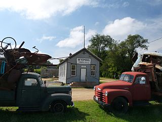
The Town of Wyoming is a town located in Iowa County, Wisconsin, United States. The population was 317 at the 2020 census.

<span class="mw-page-title-main">Rock River, Wyoming</span> Town in Wyoming, United States

Rock River is a town in Albany County, Wyoming, United States. As of the 2010 census, the town population was 245.

<span class="mw-page-title-main">Baggs, Wyoming</span> Town in Wyoming, United States

Baggs is a town in Carbon County, Wyoming, United States. The population was 411 at the 2020 census. Baggs is home to the Outlaw Stop, a branch of the Little Snake River Museum, which is headquartered in Savery.

<span class="mw-page-title-main">Dixon, Wyoming</span> Town in Wyoming, United States

Dixon is a town in Carbon County, Wyoming, United States. The population was 97 at the 2010 census.

<span class="mw-page-title-main">Encampment, Wyoming</span> Town in Wyoming, United States

Encampment is a town in southern Carbon County, Wyoming, United States. The population was 450 at the 2010 census.

<span class="mw-page-title-main">Riverside, Wyoming</span> Town in Wyoming, United States

Riverside is a town in Carbon County, Wyoming, United States. The population was 52 at the 2010 census.

<span class="mw-page-title-main">Burns, Wyoming</span> Town in Laramie County, Wyoming, United States

Burns is a town in Laramie County, Wyoming, United States. It is part of the Cheyenne, Wyoming Metropolitan Statistical Area. The population was 301 at the 2010 census.

<span class="mw-page-title-main">Clearmont, Wyoming</span> Town in Wyoming, United States

Clearmont is a town in Sheridan County, Wyoming, United States. The population was 142 at the 2010 census.

<span class="mw-page-title-main">Dayton, Wyoming</span> Town in Wyoming, United States

Dayton is a town in Sheridan County, Wyoming, United States. The population was 822 at the 2020 census.
<span class="mw-page-title-main">Bairoil, Wyoming</span> Town in Wyoming, United States

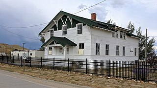
Bairoil is a town in Sweetwater County, Wyoming, United States. The population was 106 at the 2010 census.
<span class="mw-page-title-main">Granger, Wyoming</span> Town in Sweetwater County, Wyoming, United States

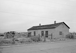
Granger is a town along Blacks Fork near the western edge of Sweetwater County, Wyoming, United States. The population was 139 at the 2010 census. It is located near the confluence of the Blacks Fork and the Hams Fork rivers. The geography of the area is flat with semi-arid scrub.
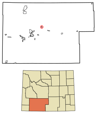
<span class="mw-page-title-main">Superior, Wyoming</span> Town in Wyoming, United States

Superior is a town in Sweetwater County, Wyoming, United States. The population was 336 at the 2010 census.
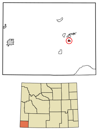
<span class="mw-page-title-main">Mountain View, Wyoming</span> Town in Wyoming, United States

Mountain View is a town in Uinta County, Wyoming, United States. The population was 1,286 at the 2010 census.

Clyman is a town in Dodge County, Wisconsin, United States. The population was 849 at the 2000 census. The Village of Clyman is located within the town. The unincorporated community of Clyman Junction is also located in the town of Clyman.

References

  1. "2019 U.S. Gazetteer Files". United States Census Bureau. Retrieved August 7, 2020.
  2. 1 2 U.S. Geological Survey Geographic Names Information System: Lyman, Wyoming
  3. 1 2 "U.S. Census website". United States Census Bureau . Retrieved January 31, 2008.
  4. "Lyman Town, Wyoming". US Census Bureau Quick Facts. Retrieved July 11, 2012.
  5. "US Gazetteer files: 2010, 2000, and 1990". United States Census Bureau. February 12, 2011. Retrieved April 23, 2011.
  6. "US Gazetteer files 2010". United States Census Bureau. Archived from the original on January 25, 2012. Retrieved December 14, 2012.
  7. "Population and Housing Unit Estimates". United States Census Bureau. May 24, 2020. Retrieved May 27, 2020.
  8. "Census of Population and Housing". Census.gov. Retrieved June 4, 2015.
  9. "U.S. Census website". United States Census Bureau . Retrieved December 14, 2012.
  10. "Wyoming Public Libraries". PublicLibraries.com. Retrieved June 14, 2019.