Mamit district | |
|---|---|
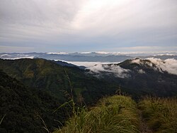 View from Reiek top | |
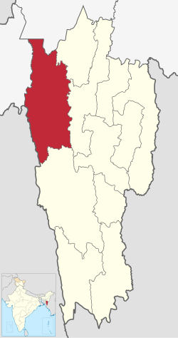 Location in Mizoram | |
 Mamit district | |
| Coordinates(Mamit): 23°55′31″N92°29′29″E / 23.925141°N 92.491368°E | |
| Country | India |
| State | Mizoram |
| Headquarters | Mamit |
| Government | |
| • Lok Sabha constituencies | Mizoram |
| • Vidhan Sabha constituencies | 3 |
| Area | |
• Total | 3,025 km2 (1,168 sq mi) |
| Population (2011) | |
• Total | 86,364 |
| • Density | 29/km2 (74/sq mi) |
| Demographics | |
| • Literacy | 84.93 |
| • Sex ratio | 927 |
| Time zone | UTC+05:30 (IST) |
| Website | mamit |
Mamit district is one of the eleven districts of Mizoram state in India.