
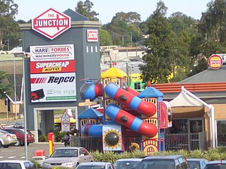
Granville is a suburb in Western Sydney, in the state of New South Wales, Australia. Granville is located 18 kilometres (11 mi) west of the Sydney central business district, split between the local government areas of Cumberland City Council and the City of Parramatta.

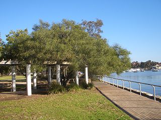
Parramatta is a major CBD and a suburb in Greater Western Sydney, located in New South Wales, Australia. It is located approximately 24 kilometres (15 mi) west of Central Sydney, on the banks of the Parramatta River. Parramatta is the administrative seat of the local government area of the City of Parramatta and is often regarded as one of the city centres of the Greater Sydney Metropolitan area, alongside with Sydney, Penrith, Liverpool, etc. Parramatta also has a long history as a second administrative centre in the Sydney metropolitan region, playing host to a number of state government departments as well as state and federal courts. It is often colloquially referred to as "Parra".
Northmead is a suburb of Greater Western Sydney, in the state of New South Wales, Australia. Northmead is located 26 kilometres west of the Sydney central business district, in the local government area of the City of Parramatta.
Lilyfield is a suburb in the Inner West of Sydney, in the state of New South Wales, Australia. Lilyfield is located 6 kilometres west of the Sydney central business district, in the local government area of the Inner West Council.
Dundas is a suburb of Sydney, New South Wales, Australia. Dundas is located 21 kilometres north-west of the Sydney central business district, in the local government area of the City of Parramatta, and the electoral division of Bennelong. Dundas is a leafy green suburb, notably due to its centrepiece The Ponds Walk, which follows the Ponds Subiaco Creek. Dundas is part of the Northern Sydney and Greater Western Sydney regions.

Toongabbie is a suburb of Sydney, in the state of New South Wales, Australia. One of the oldest suburbs in Sydney, Toongabbie is located approximately 30 kilometres west of the Sydney central business district and is part of the Greater Western Sydney region. Toongabbie is split between the local government areas of the City of Parramatta, the City of Blacktown and Cumberland Council. The suburb is often locally referred to as "Toonie", "Toonga Bay" and "Bayside".

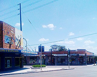
Wentworthville is a suburb in Sydney, in the state of New South Wales, Australia. Wentworthville is located 27 kilometres west of the Sydney central business district and is part of the Greater Western Sydney region. Wentworthville is split between the local government areas of the City of Parramatta and the Cumberland Council. Wentworthville is colloquially known as 'Wenty'.
Yennora is a suburb of Sydney in the state of New South Wales, Australia, 29 kilometres west of the Sydney central business district. The residential part of the suburb is primarily in the local government area of the City of Fairfield, although the industrial area in west is a part of Cumberland Council. It is part of the Greater Western Sydney region.

Telopea is a suburb of Greater Western Sydney, in the state of New South Wales, Australia. Telopea is located 23 kilometres north-west of the Sydney central business district, in the local government area of the City of Parramatta. The suburb is bordered by Kissing Point Road to the south and Pennant Hills Road to the north.

Smithfield is a suburb of Sydney, in the state of New South Wales, Australia. Smithfield is located 31 kilometres (19 mi) west of the Sydney central business district, in the local government areas of the City of Fairfield and Cumberland Council. Located in the Greater Western Sydney region, the suburb is one of the largest in Fairfield City by area.

North Parramatta is a suburb of the City of Parramatta, in the state of New South Wales, Australia 24 kilometres north-west of the Sydney central business district in the local government area of the City of Parramatta.

Kingsgrove is a suburb in Southern Sydney, New South Wales, Australia. Kingsgrove is 13 kilometres (8.1 mi) south-west of the Sydney central business district and lies across the local government areas of the City of Canterbury-Bankstown, Bayside Council and the Georges River Council.
Lidcombe is a suburb in western Sydney, in the state of New South Wales, Australia. Lidcombe is located 15 km (9.32 mi) west of the Sydney central business district, in the local government area of Cumberland Council, with a small industrial part in the north in the City of Parramatta. Post code: 2141, sharing it with Berala.

Chester Hill, a suburb of the City of Canterbury-Bankstown local government area, is located 25 kilometres west of the Sydney central business district, in the state of New South Wales, Australia, and is part of Western Sydney, Chester Hill shares the postcode of 2162 with the neighbouring suburb of Sefton.
Bonnyrigg Heights is a suburb of Sydney, in New South Wales, Australia. Its name originates from Bonnyrigg, Midlothian, Scotland. Bonnyrigg Heights is located on the traditional indigenous lands of the Dharug Nation.

Guildford is a suburb of Sydney, in the state of New South Wales, Australia. Guildford is located 27 kilometres west of the Sydney central business district, in the local government area of Cumberland City Council. Guildford is part of the Western Sydney region. Guildford is the home of the first KFC in Australia.

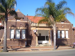
Harris Park is a suburb of Greater Western Sydney, in the state of New South Wales, Australia. Harris Park is located 19 kilometres west of the Sydney central business district in the local government area of the City of Parramatta and is part of the Greater Western Sydney region. Harris Park has a plurality of Indian and Hindu population, both making up the largest ethnic and religious group. As a result a precinct in the suburb is officially known as 'Little India'.

Pemulwuy is a suburb in Greater Western Sydney, in the state of New South Wales, Australia. Pemulwuy is located 30 kilometres west of the Sydney central business district in the local government area of the Cumberland Council. Pemulwuy is home to the highest point between the Blue Mountains and Sydney, the summit of Prospect Hill.

Constitution Hill is a suburb of Sydney in the state of New South Wales, Australia. Constitution Hill is located on a hill 28 kilometres (17 mi) west of the Sydney central business district in the local government area of the City of Parramatta and is part of the Western Sydney region. Constitution Hill overlooks the city of Parramatta from above and contains views of the inner Sydney city skyline.

Wentworth Point is a suburb of Sydney, in the state of New South Wales, Australia. It is located 13 kilometres west of the Sydney central business district, on the eastern edge of the local government area of City of Parramatta. It is on the western shore of Homebush Bay on the southern side of the Parramatta River. Wentworth Point is usually regarded as part of the Greater Western Sydney region, including in administrative contexts, but it is also regarded as part of the Inner West region of Sydney in some contexts, especially commercial contexts.

