Mono Vista, California

Last updated
Mono Vista
Tuolumne County California Incorporated and Unincorporated areas Mono Vista Highlighted.svg
Location in Tuolumne County and the state of California
Usa edcp location map.svg
Red pog.svg
Mono Vista
Location in the United States
Coordinates: 38°0′44″N120°16′15″W / 38.01222°N 120.27083°W / 38.01222; -120.27083 Coordinates: 38°0′44″N120°16′15″W / 38.01222°N 120.27083°W / 38.01222; -120.27083
Country Flag of the United States.svg  United States
State Flag of California.svg  California
County Tuolumne
Area
[1]
  Total2.839 sq mi (7.352 km2)
  Land2.836 sq mi (7.345 km2)
  Water0.003 sq mi (0.007 km2)  0.10%
Elevation
2,992 ft (912 m)
Population
 (2010)
  Total3,127
  Density1,100/sq mi (430/km2)
Time zone UTC-8 (Pacific (PST))
  Summer (DST) UTC-7 (PDT)
ZIP code
95370
Area code(s) 209
FIPS code 06-48641
GNIS feature ID1659158

Mono Vista is a census-designated place (CDP) in Tuolumne County, California, United States. The population was 3,127 at the 2010 census, up from 3,072 at the 2000 census.

Contents

Geography

Mono Vista is located at 38°0′44″N120°16′15″W / 38.01222°N 120.27083°W / 38.01222; -120.27083 (38.012087, -120.270701). [2]

According to the United States Census Bureau, the CDP has a total area of 2.8 square miles (7.3 km2), 99.90% of it land and 0.10% of it water.

Demographics

2010

The 2010 United States Census [3] reported that Mono Vista had a population of 3,127. The population density was 1,101.6 inhabitants per square mile (425.3/km2). The racial makeup of Mono Vista was 2,796 (89.4%) White, 6 (0.2%) African American, 58 (1.9%) Native American, 38 (1.2%) Asian, 8 (0.3%) Pacific Islander, 61 (2.0%) from other races, and 160 (5.1%) from two or more races. Hispanic or Latino of any race were 300 persons (9.6%).

The Census reported that 3,102 people (99.2% of the population) lived in households, 25 (0.8%) lived in non-institutionalized group quarters, and 0 (0%) were institutionalized.

There were 1,211 households, out of which 391 (32.3%) had children under the age of 18 living in them, 648 (53.5%) were opposite-sex married couples living together, 129 (10.7%) had a female householder with no husband present, 78 (6.4%) had a male householder with no wife present. There were 94 (7.8%) unmarried opposite-sex partnerships, and 4 (0.3%) same-sex married couples or partnerships. 272 households (22.5%) were made up of individuals, and 110 (9.1%) had someone living alone who was 65 years of age or older. The average household size was 2.56. There were 855 families (70.6% of all households); the average family size was 2.98.

The population was spread out, with 731 people (23.4%) under the age of 18, 276 people (8.8%) aged 18 to 24, 728 people (23.3%) aged 25 to 44, 908 people (29.0%) aged 45 to 64, and 484 people (15.5%) who were 65 years of age or older. The median age was 40.5 years. For every 100 females, there were 99.9 males. For every 100 females age 18 and over, there were 99.0 males.

There were 1,471 housing units at an average density of 518.2 per square mile (200.1/km2), of which 898 (74.2%) were owner-occupied, and 313 (25.8%) were occupied by renters. The homeowner vacancy rate was 5.3%; the rental vacancy rate was 10.5%. 2,199 people (70.3% of the population) lived in owner-occupied housing units and 903 people (28.9%) lived in rental housing units.

2000

As of the census [4] of 2000, there were 3,072 people, 1,113 households, and 846 families residing in the CDP. The population density was 991.3 inhabitants per square mile (382.7/km2). There were 1,263 housing units at an average density of 407.5 per square mile (157.3/km2). The racial makeup of the CDP was 94.08% White, 0.46% African American, 0.78% Native American, 0.42% Asian, 0.10% Pacific Islander, 1.63% from other races, and 2.54% from two or more races. Hispanic or Latino of any race were 7.45% of the population.

There were 1,113 households, out of which 35.8% had children under the age of 18 living with them, 62.6% were married couples living together, 8.6% had a female householder with no husband present, and 23.9% were non-families. 17.5% of all households were made up of individuals, and 7.0% had someone living alone who was 65 years of age or older. The average household size was 2.74 and the average family size was 3.08.

In the CDP, the population was spread out, with 27.6% under the age of 18, 6.6% from 18 to 24, 25.5% from 25 to 44, 26.4% from 45 to 64, and 14.0% who were 65 years of age or older. The median age was 39 years. For every 100 females, there were 97.3 males. For every 100 females age 18 and over, there were 94.7 males.

The median income for a household in the CDP was $42,302, and the median income for a family was $44,419. Males had a median income of $40,104 versus $31,250 for females. The per capita income for the CDP was $19,297. About 6.1% of families and 8.2% of the population were below the poverty line, including 17.0% of those under age 18 and none of those age 65 or over.

Government

In the California State Legislature, Mono Vista is in the 8th Senate District , represented by Republican Andreas Borgeas, and the 5th Assembly District , represented by Republican Frank Bigelow. [5]

In the United States House of Representatives, Mono Vista is in California's 4th congressional district , represented by Republican Tom McClintock. [6]

Related Research Articles

Sierra Vista Southeast, Arizona CDP in Cochise County, Arizona

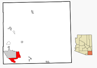
Sierra Vista Southeast, often referred to as Hereford or Nicksville, is a census-designated place (CDP) in Cochise County, Arizona, United States. The population was 14,797 at the 2010 census. It includes the neighborhoods Ramsey Canyon, and Sierra Vista Estates within its boundaries.
Mesa Vista, California Census-designated place in California, United States

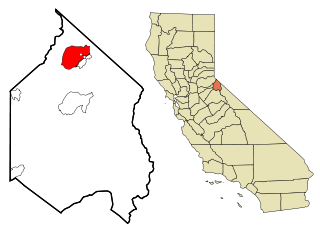
Mesa Vista is a census-designated place (CDP) in Alpine County, California, United States. The population was 200 at the 2010 census, up from 182 at the 2000 census.

Auberry, California Census-designated place in California, United States

Auberry is a census-designated place (CDP) in Fresno County, California, United States. The population was 2,369 at the 2010 census, up from 2,053 at the 2000 census. Auberry is located on Little Sandy Creek 9.5 miles (15 km) west of Shaver Lake Heights, at an elevation of 2,018 feet (615 m).
North El Monte, California Census-designated place in California, United States

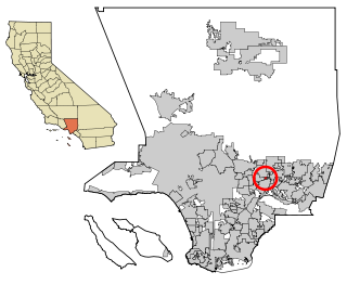
North El Monte is a census-designated place (CDP) in the San Gabriel Valley, in Los Angeles County, California, United States. The population was 3,723 at the 2010 census, up from 3,703 at the 2000 census.

Westmont, California Place in California, United States

Westmont is an unincorporated community in Los Angeles County, California, a part of the South Los Angeles area, just east of Inglewood. The population was 33,913 at the 2020 census, up from 31,853 at the 2010 census.
Meadow Vista, California Census-designated place in California, United States

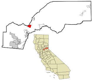
Meadow Vista is a census-designated place (CDP) in Placer County, California, United States. It is part of the Sacramento–Arden-Arcade–Roseville Metropolitan Statistical Area. The population was 3,217 at the 2010 census, up from 3,096 at the 2000 census.

Tahoe Vista, California Census-designated place in California, United States

Tahoe Vista is a census-designated place located on the north shore of Lake Tahoe in Placer County, California. It is part of the Sacramento–Arden-Arcade–Roseville Metropolitan Statistical Area. The population was 1,433 at the 2010 census, down from 1,668 at the 2000 census.
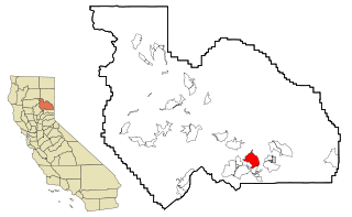
Mohawk Vista, California Census-designated place in California, United States

Mohawk Vista is a census-designated place in Plumas County, California, United States. The population was 159 at the 2010 census, up from 121 at the 2000 census.
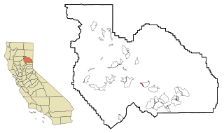
Spring Garden, California Census-designated place in California, United States

Spring Garden is a census-designated place (CDP) in Plumas County, California, United States. The population was 16 at the 2010 census, down from 55 at the 2000 census.

Taylorsville, California Census-designated place in California, United States

Taylorsville is a census-designated place (CDP) in Plumas County, California, United States. The population was 150 at the 2010 census, down from 154 at the 2000 census. The annual Stone Ranch Reunion is held in Taylorsville.
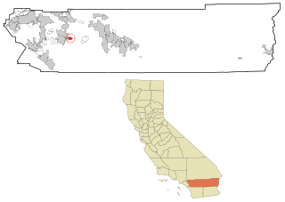
Valle Vista, California Census-designated place in California, United States

Valle Vista is a census-designated place (CDP) in Riverside County, California, United States and is located in the San Jacinto Valley. Some areas of Valle Vista are considered to be part of both unincorporated San Jacinto and Hemet but have yet to be incorporated. The population was 11,036 at the 2010 census, up from 8,356 at the 2000 census.

Bluewater, California Census-designated place in California, United States

Bluewater is a census-designated place (CDP) in San Bernardino County, California, United States. The population was 172 at the 2010 census, down from 265 at the 2000 census.

Bonsall, California Census-designated place in California, United States

Bonsall is a census-designated place (CDP) in San Diego County, California. The population was 3,982 at the 2010 census, up from 3,401 at the 2000 census.

Buena Vista, San Jose Neighborhood of San Jose in Santa Clara, California, United States

Buena Vista is a former census-designated place (CDP) in Santa Clara County, California, United States. The population was 1,704 at the 2000 census. The area is now part of the city of San Jose.
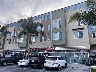
Fruitdale, San Jose Place in California, United States

Fruitdale is a district of San Jose, California, located in West San Jose, though some portions are still unincorporated as a census-designated place. The population of the CDP was 935 at the 2010 census.

North River Shores, Florida CDP in Florida, United States

North River Shores is a census-designated place (CDP) in Martin County, Florida, United States. The population was 3,101 at the 2000 census. It is part of the Port St. Lucie Metropolitan Statistical Area.
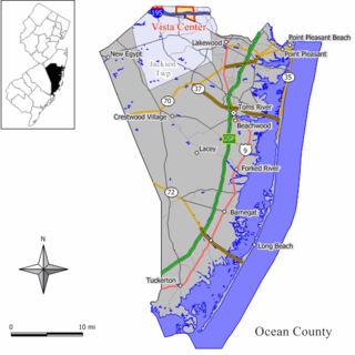
Vista Center, New Jersey Census-designated place in New Jersey, United States

Vista Center is an unincorporated community and census-designated place (CDP) located within Jackson Township in Ocean County, New Jersey, United States. As of the 2010 United States Census, the CDP's population was 3,689.

Chula Vista, Maverick County, Texas CDP in Texas, United States

Chula Vista, formerly known as Rosita North, is a census-designated place (CDP) in Maverick County, Texas, United States. The population was 3,400 at the 2000 census.

Larga Vista is a former census-designated place (CDP) in Webb County, Texas, United States. The population was 742 at the 2000 census. Larga Vista lost its census-designated place status in 2010 because it became surrounded by Laredo, Texas. A CDP may not be located, either partially or entirely, within an incorporated place or another CDP. Today, Larga Vista is considered a Laredo neighborhood.

Vista Santa Rosa is a census-designated place in Riverside County, California. Vista Santa Rosa sits at an elevation of 69 feet (21 m) below sea level. The 2010 United States census reported Vista Santa Rosa's population was 2,926.

References

  1. "2010 Census Gazetteer Files - Places - California". United States Census Bureau . Retrieved March 26, 2015.
  2. "US Gazetteer files: 2010, 2000, and 1990". United States Census Bureau. 2011-02-12. Retrieved 2011-04-23.
  3. "2010 Census Interactive Population Search: CA - Mono Vista CDP". U.S. Census Bureau. Archived from the original on July 15, 2014. Retrieved July 12, 2014.
  4. "U.S. Census website". United States Census Bureau . Retrieved 2008-01-31.
  5. "Statewide Database". Regents of the University of California. Archived from the original on February 1, 2015. Retrieved March 26, 2015.
  6. "California's 4th Congressional District - Representatives & District Map". Civic Impulse, LLC. Retrieved September 28, 2014.