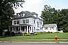
This is intended to be a complete list of the properties and districts on the National Register of Historic Places in West Hartford, Connecticut, United States. The locations of National Register properties and districts for which the latitude and longitude coordinates are included below, may be seen in various online maps.[1]
There are more than 400 properties and districts listed on the National Register in Hartford County, including 21 National Historic Landmarks. The 32 properties and districts located in the town of West Hartford include two National Historic Landmarks and are listed below. The properties and districts in the remaining parts of the county are listed separately. Six properties and districts straddle the border between West Hartford and Hartford and appear in both lists.
Contents: Counties and municipalities in Connecticut
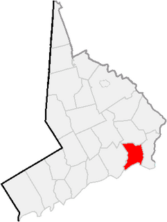
This is a list of the National Register of Historic Places designations in Hartford County, Connecticut.
This is a list of the National Register of Historic Places listings in New Haven County, Connecticut.
This is a list of the National Register of Historic Places listings in New London County, Connecticut.
This is a list of the National Register of Historic Places listings in Tolland County, Connecticut.
This is a list of the National Register of Historic Places listings in Windham County, Connecticut.
This is a list of the National Register of Historic Places listings in Hartford, Connecticut.
This is a list of the National Register of Historic Places listings in Berkeley County, West Virginia.
This is a list of the National Register of Historic Places listings in Preston County, West Virginia. This is intended to be a complete list of the properties and districts on the National Register of Historic Places in Preston County, West Virginia. The locations of National Register properties and districts for which the latitude and longitude coordinates are included below, may be seen in a Google map.
This is a list of the National Register of Historic Places listings in Monroe County, West Virginia.
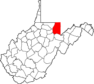
This is a list of the National Register of Historic Places listings in Morgan County, West Virginia.
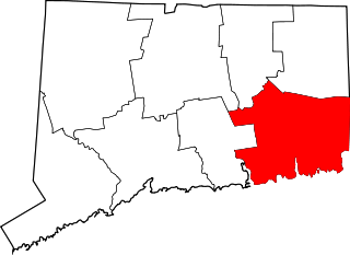
This is a list of the National Register of Historic Places listings in Bridgeport, Connecticut.
This is a list of the National Register of Historic Places listings in Lewis County, West Virginia.
This is a list of the National Register of Historic Places listings in Pendleton County, West Virginia.
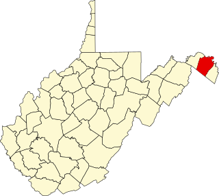
This is a list of the National Register of Historic Places listings in Mingo County, West Virginia.
This is a list of the National Register of Historic Places listings in Barbour County, West Virginia.
This is a list of the National Register of Historic Places listings in Marshall County, West Virginia.
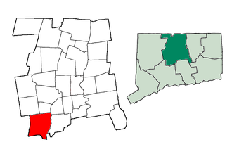
This is a list of the National Register of Historic Places listings in Southington, Connecticut.
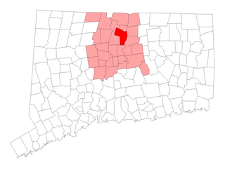
This is a list of the National Register of Historic Places listings in Windsor, Connecticut.
This is a list of the National Register of Historic Places listings in Taylor County, West Virginia.
This is a list of the National Register of Historic Places listings in Wirt County, West Virginia.
References
↑ The latitude and longitude information provided in this table was derived originally from the National Register Information System, which has been found to be fairly accurate for about 99% of listings. Some locations in this table may have been corrected to current GPS standards.
↑ Numbers represent an ordering by significant words. Various colorings, defined here, differentiate National Historic Landmarks and historic districts from other NRHP buildings, structures, sites or objects.
↑ The eight-digit number below each date is the number assigned to each location in the National Register Information System database, which can be viewed by clicking the number.
This page is based on this Wikipedia article Text is available under the CC BY-SA 4.0 license; additional terms may apply. Images, videos and audio are available under their respective licenses.