Lawra is a small town and is the capital of Lawra district, a district in the Upper West Region of Ghana.

Puerto Boyacá is a Colombian river-port town and municipality by the Magdalena River in the Boyacá Department, where is also considered a Special Trade Zone due to its port status. Its main industries are oil exploration and processing. In the 1980s and early 1990s, Puerto Boyacá was affected intensively by the Colombian Armed Conflict.

Angostura is a town and municipality in Antioquia Department, Colombia. It is part of the subregion of Northern Antioquia. The population was 10,500 at the 2018 census.

Caracolí is a town and municipality in Antioquia Department, Colombia, It has an extension of 260 km². It has unique woodlands, with many species of animals and plants.

Maceo is a town and municipality in the Colombian department of Antioquia. It is part of the Magdalena Medio Antioquia sub-region.
Montebello is a town and municipality in Antioquia Department, Colombia. Located at an elevation of 2,350 m above sea level, it is part of the sub-region of Southwestern Antioquia.

Marinilla is a town and municipality in the Colombian department of Antioquia. The population was estimated to be 67,893 in 2020. Marinilla is part of the subregion of Eastern Antioquia.

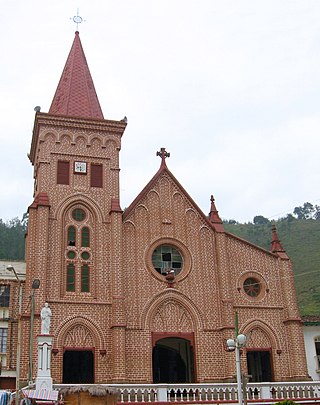
Puerto Berrío is a municipality and town in the Colombian department of Antioquia. It is part of the Magdalena Medio Antioquia sub-region.

Puerto Nare is a town and municipality in the Colombian department of Antioquia. It is part of the Magdalena Medio Antioquia sub-region.

San Carlos is a town and municipality in the Colombian department of Antioquia, part of the subregion of Eastern Antioquia. It is called the hydro-electrical capital of Colombia, because it has many dams and it produces much energy. The population was 14,480 at the 2018 census.

United States of Colombia was the name adopted in 1863 by the Constitución de Rionegro for the Granadine Confederation, after years of civil war. Colombia became a federal state itself composed of nine "sovereign states.” It comprised the present-day nations of Colombia and Panama and parts of northwestern Brazil. After several more years of intermittent civil wars, it was replaced by the more centralist Republic of Colombia in 1886, predecessor to modern Colombia.

The Republic of New Granada was a 1831–1858 centralist unitary republic consisting primarily of present-day Colombia and Panama with smaller portions of today's Costa Rica, Ecuador, Venezuela, Peru and Brazil. On 9 May 1834, the national flag was adopted and was used until 26 November 1861, with the Gran Colombian colours in Veles' arrangement. The merchant ensign had the eight-pointed star in white.

Cerro San Antonio is a town and municipality of the Colombian Department of Magdalena. Founded on June 13, 1750 by Fernando de Mier y Guerra near the Magdalena River. The Libertador Simon Bolivar visited this town on May 23, 1813 during the War of Independence of Colombia from Spain.

Pupiales is a town and municipality in the Nariño Department, Colombia.

Purificación is a town and municipality in the Tolima department of Colombia.

Solita is a town and municipality in Caquetá Department, Colombia.

Valdemanco is a municipality of the Community of Madrid, Spain.
Aknoul is a town in Taza Province, Fès-Meknès, Morocco. According to the 2014 census it has a population of 4,403.
Akarma is a small town and rural commune in Rehamna Province of the Marrakesh-Safi region of Morocco. At the time of the 2004 census, the commune had a total population of 5662 people living in 797 households.


