
Roanoke County is a county located in the U.S. state of the Commonwealth of Virginia. As of the 2020 census, the population was 96,929. Its county seat is Salem, but the county administrative offices are located in the unincorporated Cave Spring area of the county.

Botetourt County is a US county that lies in the Roanoke Region of the Commonwealth of Virginia. Located in the mountainous portion of the state, the county is bordered by two major ranges, the Blue Ridge Mountains and the Appalachian Mountains.

Bedford County is a United States county located in the Piedmont region of the Commonwealth of Virginia. Its county seat is the town of Bedford, which was an independent city from 1968 until rejoining the county in 2013.

Forest is a census-designated place (CDP) in eastern Bedford County, Virginia, United States. The population was 11,709 at the 2020 census. It is part of the Lynchburg Metropolitan Statistical Area.
Blue Ridge is a census-designated place (CDP) in southern Botetourt County, Virginia, United States. The population was 3,185 at the 2020 census. The CDP is located along U.S. Route 460. It is part of the Roanoke Metropolitan Statistical Area.
Cloverdale is a census-designated place (CDP) in southern Botetourt County, Virginia, United States. The population was 3,410 at the 2020 census. The community is located along State Route 654. It is part of the Roanoke Metropolitan Statistical Area.
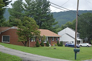
Daleville is a census-designated place (CDP) in southern Botetourt County, Virginia, United States. The population was 3,070 at the 2020 census. The CDP is located along U.S. Route 220. It is part of the Roanoke Metropolitan Statistical Area.
Laymantown is a census-designated place (CDP) in southern Botetourt County, Virginia, United States. The population was 1,867 at the 2020 census. The community is located along State Route 658. It is part of the Roanoke Metropolitan Statistical Area.

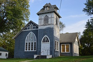
Troutville is a town in Botetourt County, Virginia, United States. The population was 458 at the 2020 census. The town is located along the U.S. Route 11 between Cloverdale and Buchanan. It is part of the Roanoke Metropolitan Statistical Area.
North Shore is a census-designated place (CDP) in Franklin County, Virginia, United States. The community lies along State Route 616. It is part of the Roanoke Metropolitan Statistical Area.

Vinton is a town in eastern Roanoke County, Virginia, United States. The population was 8,059 at the 2020 census. Vinton is part of the Roanoke Metropolitan Statistical Area and the Roanoke Region of Virginia.

Hardy is an unincorporated community in southwestern Bedford County and northeastern Franklin County, Virginia, United States. The community lies along State Route 634 and is approximately nine miles southeast of Roanoke.
Thaxton is an unincorporated community in western Bedford County, Virginia, United States. The community is located along U.S. Route 460 between Bedford and Montvale. It is part of the Lynchburg Metropolitan Statistical Area.

Moneta is a census-designated place (CDP) in southern Bedford County, Virginia, United States. The community is located along Route 122 between the towns of Bedford and Rocky Mount. It is part of the Lynchburg Metropolitan Statistical Area.
Glen Wilton is a census-designated place (CDP) in northern Botetourt County, Virginia, United States. The population was 129 at the 2020 census. The CDP is located along the James River, between Eagle Rock and Iron Gate. It is part of the Roanoke Metropolitan Statistical Area.
Bedford County Public Schools is a school district based in Bedford, Virginia, United States. It serves Bedford County, Virginia, United States.
Big Island is a census-designated place (CDP) in northern Bedford County, Virginia, United States. The population as of the 2020 United States census was 300. The CDP is located along the James River and U.S. Route 501, between Glasgow and Coleman Falls. It is part of the Lynchburg Metropolitan Statistical Area.

Montvale is a census-designated place (CDP) in western Bedford County, Virginia, United States. The population as of the 2020 census was 635. The community is located between Roanoke and Bedford. It is part of the Lynchburg Metropolitan Statistical Area.

Chamblissburg is an unincorporated community in southwestern Bedford County, Virginia, United States. It lies along State Route 24, east of Stewartsville. It is part of the Lynchburg Metropolitan Statistical Area.
Villamont is an unincorporated community in western Bedford County, Virginia, United States. Villamont is located along U.S. Route 460 between Blue Ridge and Montvale. It is part of the Lynchburg Metropolitan Statistical Area.


