
The Louisiana Purchase was the acquisition of the territory of Louisiana by the United States from the French First Republic in 1803. In return for fifteen million dollars, or approximately eighteen dollars per square mile, the United States nominally acquired a total of 828,000 sq mi in Middle America. However, France only controlled a small fraction of this area, most of which was inhabited by Native Americans; effectively, for the majority of the area, the United States bought the "preemptive" right to obtain "Indian" lands by treaty or by conquest, to the exclusion of other colonial powers.

The Mississippi River is the second-longest river and chief river of the second-largest drainage system in North America, second only to the Hudson Bay drainage system. From its traditional source of Lake Itasca in northern Minnesota, it flows generally south for 2,340 miles (3,770 km) to the Mississippi River Delta in the Gulf of Mexico. With its many tributaries, the Mississippi's watershed drains all or parts of 32 U.S. states and two Canadian provinces between the Rocky and Appalachian mountains. The main stem is entirely within the United States; the total drainage basin is 1,151,000 sq mi (2,980,000 km2), of which only about one percent is in Canada. The Mississippi ranks as the thirteenth-largest river by discharge in the world. The river either borders or passes through the states of Minnesota, Wisconsin, Iowa, Illinois, Missouri, Kentucky, Tennessee, Arkansas, Mississippi, and Louisiana.

The Ohio River is a 981-mile (1,579 km) long river in the United States. It is located at the boundary of the Midwestern and Southern United States, flowing southwesterly from western Pennsylvania to its mouth on the Mississippi River at the southern tip of Illinois. It is the third largest river by discharge volume in the United States and the largest tributary by volume of the north-south flowing Mississippi River that divides the eastern from western United States. It is also the 6th oldest river on the North American continent. The river flows through or along the border of six states, and its drainage basin includes parts of 14 states. Through its largest tributary, the Tennessee River, the basin includes several states of the southeastern U.S. It is the source of drinking water for five million people.

Quitman County is a county located in the U.S. state of Mississippi. As of the 2010 census, the population was 8,223, making it the fifth-least populous county in Mississippi. Its county seat is Marks. The county is named after John A. Quitman, Governor of Mississippi from 1835 to 1836 and from 1850 to 1851.

DeSoto County is a county located on the northwestern border of the U.S. state of Mississippi. As of the 2010 census, the population was 161,252, making it the third-most populous county in Mississippi. Its county seat is Hernando.

Monticello is a town in and the county seat of Lawrence County, Mississippi, United States. The population was 1,571 at the 2010 census.

Hannibal is a city along the Mississippi River in Marion and Ralls counties in the U.S. state of Missouri. According to the 2020 U.S. Census, the population was 17,312, making it the largest city in Marion County. The bulk of the city is in Marion County, with a tiny sliver in the south extending into Ralls County.
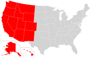
The Western United States is the region comprising the westernmost states of the United States. As American settlement in the U.S. expanded westward, the meaning of the term the West changed. Before about 1800, the crest of the Appalachian Mountains was seen as the western frontier. The frontier moved westward and eventually the lands west of the Mississippi River were considered the West.

West Florida was a region on the northern coast of the Gulf of Mexico that underwent several boundary and sovereignty changes during its history. As its name suggests, it was formed out of the western part of former Spanish Florida, along with lands taken from French Louisiana; Pensacola became West Florida's capital. The colony included about two thirds of what is now the Florida Panhandle, as well as parts of the modern U.S. states of Louisiana, Mississippi, and Alabama.

Pinckney's Treaty, also known as the Treaty of San Lorenzo or the Treaty of Madrid, was signed on October 27, 1795 by the United States and Spain.

The Territory of Mississippi was an organized incorporated territory of the United States that existed from April 7, 1798, until December 10, 1817, when the western half of the territory was admitted to the Union as the State of Mississippi. The eastern half was redesignated as the Alabama Territory until it was admitted to the Union as the State of Alabama on December 14, 1819. The Chattahoochee River played a significant role in the definition of the territory's borders. The population rose in the early 1800s from settlement, with cotton being an important cash crop.

The Eastern United States, commonly referred to as the American East, Eastern America, or simply the East, is the region of the United States to the east of the Mississippi River. In some cases the term may refer to a smaller area or the East Coast plus Illinois, Wisconsin, Indiana, Mississippi and their border states.

A coastal plain is flat, low-lying land adjacent to a sea coast. A fall line commonly marks the border between a coastal plain and a piedmont area. Some of the largest coastal plains are in Alaska and the southeastern United States. The Gulf Coastal Plain of North America extends northwards from the Gulf of Mexico along the Lower Mississippi River to the Ohio River, which is a distance of about 981 miles (1,579 km). The Atlantic Coastal Plain runs from the New York Bight to Florida.
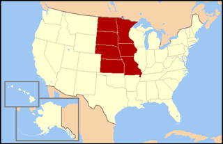
The West North Central states form one of the nine geographic subdivisions within the United States that are officially recognized by the U.S. Census Bureau.
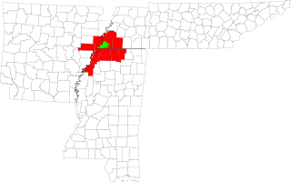
The Memphis–City Combined Statistical Area, TN–MS–AR (CSA) is the commercial and cultural hub of The Mid-South or Ark-Miss-Tenn. The census-defined combined statistical area covers ten counties in three states – Tennessee, Mississippi, and Arkansas. As of census 2010 the MSA had a population of 1,324,108. The Forrest City Micropolitan area was added to the Memphis area in 2012 to form the Memphis–Forrest City Combined Statistical area and had a population of 1,369,548 according to census estimates. The greater Mid-South area as a whole has a population of 2.4 million according to 2013 census estimates. This area is covered by Memphis local news channels and includes the Missouri Bootheel, Northeast Arkansas, West Tennessee, and North Mississippi.

The parallel 36°30′ north is a circle of latitude that is 36 and one-half degrees north of the equator of the Earth. This parallel of latitude is particularly significant in the history of the United States as the line of the Missouri Compromise, which was used to divide the prospective slave and free states west of the Mississippi River, with the exception of Missouri, which is mostly north of this parallel.

Mississippi is a state in the Southeastern region of the United States, bordered to the north by Tennessee; to the east by Alabama; to the south by the Gulf of Mexico; to the southwest by Louisiana; and to the northwest by Arkansas. Mississippi's western boundary is largely defined by the Mississippi River. Mississippi is the 32nd largest and 35th-most populous of the 50 U.S. states and has the lowest per-capita income in the United States. Jackson is both the state's capital and largest city. Greater Jackson is the state's most populous metropolitan area, with a population of 591,978 in 2020.

The 2011 United States elections were held on Tuesday, November 8. This was an off-year election, in which the only seats up for election in the United States Congress were special elections. There were also four gubernatorial races, including a special election in West Virginia. There were also state legislative elections in four states and judicial elections in three states; as well as numerous citizen initiatives, mayoral races, and a variety of other local offices on the ballot.
The following outline is provided as an overview of and topical guide to the U.S. state of Mississippi:


