
Charleville is a rural town and locality in the Shire of Murweh, Queensland, Australia. In the 2016 census the locality of Charleville had a population of 3,335 people.

Mount Morgan is a town and locality in Rockhampton Region, Queensland, Australia. The town was the administrative centre of the Mount Morgan Shire until March 2008, when it was amalgamated with neighbouring local government areas to form the Rockhampton Region.
Oakey is a rural town and locality in the Toowoomba Region, Queensland, Australia. In the 2016 census, Oakey had a population of 4,705 people.
Spencers Brook is a waterway, locality and a district located within the Avon Valley in Western Australia.
Nar Nar Goon is a town in Gippsland, Victoria, Australia, 61 km south-east of Melbourne's Central Business District, located within the Shire of Cardinia local government area. Nar Nar Goon recorded a population of 1,012 at the 2016 Census.

Snowtown is a town located in the Mid North of South Australia 145 km north of Adelaide and lies on the main road and rail routes between Adelaide and Perth – the Augusta Highway and Adelaide-Port Augusta railway line. The town's elevation is 103 metres and on average the town receives 389 mm of rainfall per annum.

Waroona is a town located in the Peel region of Western Australia along the South Western Highway, between Pinjarra and Harvey. The town is the seat of the Shire of Waroona. At the 2016 census, Waroona had a population of 2,934.

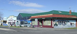
Yarloop is a town in the South West of Western Australia along the South Western Highway, between Waroona and Harvey. At the 2016 census, Yarloop had a population of 395. On 7 January 2016 a bushfire destroyed most of the town.

Cookernup is a town in the South West of Western Australia near the South Western Highway, between Waroona and Harvey.

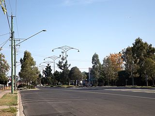
Harvey is a town located in the South West of Western Australia along the South Western Highway, 140 kilometres (87 mi) south of Perth, between Pinjarra and Bunbury. It has a population of 2,750. Harvey Town is known for its dairy industry and oranges.

Beverley is a town in the Wheatbelt region of Western Australia, 133 kilometres (83 mi) south-east of the state capital, Perth, between York and Brookton on the Great Southern Highway. It is on the Great Southern railway line.

South Western Highway is a highway in the South West region of Western Australia connecting Perth's southeast with Walpole. It is a part of the Highway 1 network for most of its length. It is about 406 kilometres (252 mi) long.
Redhill is a town in the Mid North of South Australia adjacent to the Broughton River.

The Shire of Waroona is a local government area in the Peel region of Western Australia between Mandurah and Harvey and about 110 kilometres (68 mi) south of Perth, the state capital. The Shire covers an area of about 835 km² (322 mi²) and its seat of government is the town of Waroona.

Dugandan is a rural town and locality in the Scenic Rim Region, Queensland, Australia. In the 2016 census, Dugandan had a population of 593 people.

Korrelocking is a small town situated between Wyalkatchem and Trayning in the Wheatbelt region of Western Australia. At the 2006 census, Korrelocking had a population of 76.
Jardee is a small town in the South West region of Western Australia. It is situated along the South Western Highway between Manjimup and Pemberton.
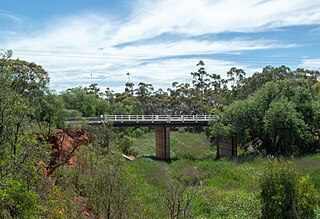
Muradup is a small town in the Great Southern region of Western Australia located between Kojonup and Boyup Brook. The town is situated along the Balgarup River.
Millars' Karri and Jarrah Company (1902) Limited, commonly known as Millars, was a Western Australian focused timber and timber railway company.
Mornington, also known as Mornington Mills, is the site of former timber saw mills and a community on the Darling Range in Western Australia. It was part of the operations of Millars Karri and Jarrah Forests Limited. At the 2016 census, the area had a population of 54.
