Yellepit, Washington | |
|---|---|
Former unincorporated community | |
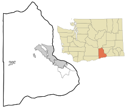 Yellepit, Washington Location of Yellepit, Washington | |
| Coordinates: 46°03′39″N118°57′05″W / 46.0609672°N 118.9513912°W [1] | |
| Country | United States |
| State | Washington |
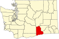
| County | Benton |
| Elevation | 341 ft (104 m) |
| Time zone | UTC-8 (Pacific (PST)) |
| • Summer (DST) | UTC-7 (PDT) |
| ZIP code | 99337 |
| Area code | 509 |
| GNIS feature ID | 1511443 [2] |
Yellepit was an unincorporated community in Benton County, Washington, United States, located approximately three miles southwest of Wallula on the west bank of the Columbia River.