Related Research Articles

Heatonville is a small unincorporated community in Lawrence County, Missouri, United States. It lies along former U.S. Route 66, approximately six miles (10 km) north-east of Mount Vernon.

Phelps is an unincorporated community in Lawrence County, Missouri, United States. It lies along former U.S. Route 66, twenty-one miles east of Carthage.
Rescue is a small unincorporated community in western Lawrence County, Missouri, United States. It lies along Route 96, approximately eighteen miles east of Carthage.

Logan is an unincorporated community in eastern Lawrence County, Missouri, United States. It is located off U.S. Route 60, one mile northeast of Marionville. Several homes are located there.
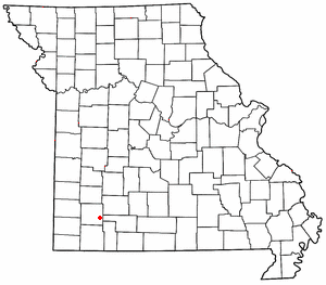
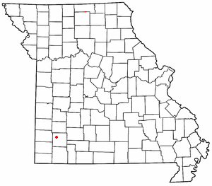
McKinley is an unincorporated community in Lawrence County, Missouri, United States. It is located on Route 14, approximately five miles west of Billings.

Chesapeake is an unincorporated community and census-designated place in Lawrence County, Missouri, United States. It is located on Route 174, approximately five miles east of Mount Vernon.
Batesville is an unincorporated community in eastern Butler County, in the U.S. state of Missouri. The community is located in the flatlands of southeast Missouri on Missouri Route 51 between Broseley to the south and Rossville to the north. Poplar Bluff is 8.5 miles (13.7 km) to the northwest.
Stephens is an unincorporated community in northwest Callaway County, in the U.S. state of Missouri. The community is one mile east of Cedar Creek and the Callaway-Boone county line. Lindbergh on I-70 lies 1.5 miles to the south.
Trask is an unincorporated community in northern Howell County, in the U.S. state of Missouri. The community is located on Missouri Route V, approximately one mile south of U.S. Route 60 between Willow Springs and Mountain View.
Elliott is an unincorporated community in Lawrence County, in the U.S. state of Missouri.
Gaither is an extinct town in Lawrence County, in the U.S. state of Missouri.
Lawrenceburg is an unincorporated community in Lawrence County, in the U.S. state of Missouri.
Olinger is an unincorporated community in Lawrence County, in the U.S. state of Missouri.
Opal is an unincorporated community in Lawrence County, in the U.S. state of Missouri.
Orange is an unincorporated community in Lawrence County, in the U.S. state of Missouri.
Round Grove is an unincorporated community in Lawrence County, in the U.S. state of Missouri.
Stinson is an unincorporated community in Lawrence County, in the U.S. state of Missouri.
Freistatt Township is an inactive township in Lawrence County, in the U.S. state of Missouri.
Vineyard Township is an inactive township in Lawrence County, in the U.S. state of Missouri.
McCune is an unincorporated community in Pike County, in the U.S. state of Missouri.
References
- ↑ U.S. Geological Survey Geographic Names Information System: Grays Point, Missouri
- ↑ "Post Offices". Jim Forte Postal History. Retrieved October 26, 2016.
- ↑ "Lawrence County Place Names, 1928–1945 (archived)". The State Historical Society of Missouri. Archived from the original on June 24, 2016. Retrieved October 26, 2016.
{{cite web}}: CS1 maint: bot: original URL status unknown (link)
Municipalities and communities of Lawrence County, Missouri, United States | ||
|---|---|---|
| Cities |  | |
| Villages | ||
| Townships | ||
| CDP | ||
| Other communities | ||
| Ghost town | ||
| Footnotes | ‡This populated place also has portions in an adjacent county or counties | |
37°14′46″N93°58′39″W / 37.24611°N 93.97750°W
| | This Lawrence County, Missouri state location article is a stub. You can help Wikipedia by expanding it. |