
Heatonville is a small unincorporated community in Lawrence County, Missouri, United States. It lies along former U.S. Route 66, approximately six miles (10 km) north-east of Mount Vernon.

Phelps is an unincorporated community in Lawrence County, Missouri, United States. It lies along former U.S. Route 66, twenty-one miles east of Carthage.
Rescue is a small unincorporated community in western Lawrence County, Missouri, United States. It lies along Route 96, approximately eighteen miles east of Carthage.

Logan is a school and small unincorporated community in southeastern Greene County, Missouri, United States. directly adjacent to Rogersville. It is located approximately 5 mi (8.0 km) west-northwest of Rogersville, one mile north of U.S. Route 60 and one mile west of Route 125. The community is centered on the school and includes several homes and the Logan Cemetery.
McKinley is an unincorporated community in Lawrence County, Missouri, United States. It is located on Route 14, approximately five miles west of Billings.

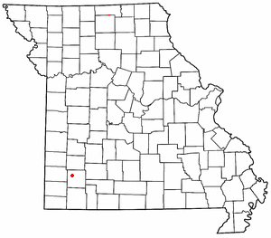
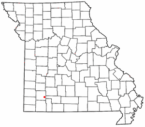
Chesapeake is an unincorporated community and census-designated place in Lawrence County, Missouri, United States. It is located on Route 174, approximately five miles east of Mount Vernon.
Lawing is an extinct town in Christian County, in the U.S. state of Missouri. The community was located on Logan Ridge along the south edge of the Springfield Plateau. Missouri Route W passes through the location and Christian Center is about one mile to the north. The city of Ozark is approximately seven miles to the north-northwest.
Fruitville is an unincorporated community in southeast Howell County, in the U.S. state of Missouri.
Brush Creek is an unincorporated community in southern Laclede County, in the U.S. state of Missouri. The community lies four miles southwest of Lebanon and approximately one mile north of Caffeyville. I-44 passes about one mile to the southeast.
Elliott is an unincorporated community in Lawrence County, in the U.S. state of Missouri.
Gaither is an extinct town in Lawrence County, in the U.S. state of Missouri.
Grays Point is an unincorporated community in Lawrence County, in the U.S. state of Missouri.
Lawrenceburg is an unincorporated community in Lawrence County, in the U.S. state of Missouri.
Olinger is an unincorporated community in Lawrence County, in the U.S. state of Missouri.
Opal is an unincorporated community in Lawrence County, in the U.S. state of Missouri.
Orange is an unincorporated community in Lawrence County, in the U.S. state of Missouri.
Round Grove is an unincorporated community in Lawrence County, in the U.S. state of Missouri.
Stinson is an unincorporated community in Lawrence County, in the U.S. state of Missouri.
Freistatt Township is an inactive township in Lawrence County, in the U.S. state of Missouri.
Vineyard Township is an inactive township in Lawrence County, in the U.S. state of Missouri.

