Lawrence County is located in the southwest portion of the U.S. state of Missouri, in the area of the Ozarks. As of the 2020 census, the population was 38,001. Its county seat is Mount Vernon. The county was organized in 1845 and named for James Lawrence, a naval officer from the War of 1812 known for his battle cry, "Don't give up the ship!"

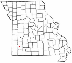
Miller is a town in Lawrence County, Missouri, United States. As of the 2010 census, the city population was 699.

Plew is a small unincorporated community in western Lawrence County, Missouri, United States. Plew is located on former U.S. Route 66, now Route 96.

Heatonville is a small unincorporated community in Lawrence County, Missouri, United States. It lies along former U.S. Route 66, approximately six miles (10 km) north-east of Mount Vernon.

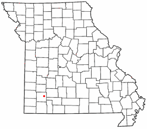
Albatross is an unincorporated community in Lawrence County, Missouri, United States. It lies near the intersection of Routes 39 and 96, approximately six miles (10 km) north of Mount Vernon and two miles south of Miller.

Phelps is an unincorporated community in Lawrence County, Missouri, United States. It lies along former U.S. Route 66, twenty-one miles east of Carthage.
Spencer is a small unincorporated crossroads in eastern Lawrence County, Missouri, United States. It lies along former U.S. Route 66 approximately six miles (10 km) west of Halltown.

Logan is an unincorporated community in eastern Lawrence County, Missouri, United States. It is located off U.S. Route 60, one mile northeast of Marionville. Several homes are located there.
McKinley is an unincorporated community in Lawrence County, Missouri, United States. It is located on Route 14, approximately five miles west of Billings.

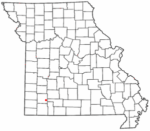
Chesapeake is an unincorporated community and census-designated place in Lawrence County, Missouri, United States. It is located on Route 174, approximately five miles east of Mount Vernon.
Pennsboro is an unincorporated community in southern Dade County, in the U.S. state of Missouri.
Charity is an unincorporated community in southern Dallas County, in the U.S. state of Missouri.
Haseltine is an unincorporated community in Greene County, in the U.S. state of Missouri. The community location was west of Springfield on U.S. Route 266, adjacent to Interstate 44.
Mentor is an unincorporated community in southern Greene County, in the U.S. state of Missouri. The community is located southeast of Springfield, south of U.S. Route 60, west of Missouri Route NN and one mile north of the Greene-Christian county line.
Grays Point is an unincorporated community in Lawrence County, in the U.S. state of Missouri.
Lawrenceburg is an unincorporated community in Lawrence County, in the U.S. state of Missouri.
Olinger is an unincorporated community in Lawrence County, in the U.S. state of Missouri.
Orange is an unincorporated community in Lawrence County, in the U.S. state of Missouri.
Round Grove is an unincorporated community in Lawrence County, in the U.S. state of Missouri.
Stinson is an unincorporated community in Lawrence County, in the U.S. state of Missouri.