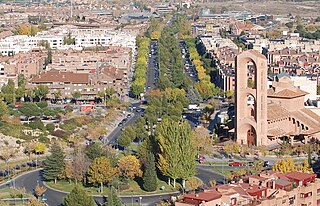
Pozuelo de Alarcón is a municipality in the Community of Madrid, Spain. Bordering the Moncloa-Aravaca district of Madrid proper to its west, Pozuelo de Alarcón is surrounded by large Mediterranean pine-tree forests: the Casa de Campo, the Monte del Pardo, and the Monte del Pilar. As of 2022, it ranks as the wealthiest municipality in Spain. La Finca, an isolated luxury residential area known by its affluent residents, most notably football players, lies within the municipality bounds.

Dámaso Alonso y Fernández de las Redondas was a Spanish poet, philologist and literary critic. Though a member of the Generation of '27, his best-known work dates from the 1940s onwards.
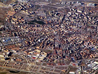
Móstoles is a municipality of Spain located in the Community of Madrid. With over 200,000 inhabitants, it is the region's second most populated municipality after Madrid. Móstoles was a small town for a long time, but expanded rapidly in the second half of the 20th century.

Getafe is a municipality and a city in Spain belonging to the Community of Madrid. As of 2018, it has a population of 180,747, the region's sixth most populated municipality.

Aluche is a barrio of the city of Madrid, situated in the southwest of the city, in the Latina district. It is bounded by the barrios of Campamento, Las Águilas, Lucero, Los Cármenes, and the Carabanchel district. Casa de Campo is also nearby. Aluche takes its name from the Luche creek that formerly flowed through the neighbourhood.

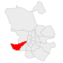
Centro is a district of Madrid, Spain. It is approximately 5.23 km2 in size. It has a population of 149,718 people and a population density of 28,587/km2. It roughly corresponds to the bulk of the housing formerly enclosed by the so-called Walls of Philip IV. The district is made up of the neighbourhoods of Cortes, Embajadores, Justicia, Universidad, Palacio and Sol.

Ixtapaluca is a city and a municipality in the eastern part of the State of Mexico in Mexico. It lies between the Federal District and the western border of the state of Puebla. The name Ixtapaluca means "Where the salt gets wet".

Line 5 is a rapid transit line in the Madrid Metro system since 5 June 1968. It is the fourth most used line of the Madrid system, transporting 64 million passengers a year. It is 27 kilometers long.
Tetuán is a district of Madrid, Spain.

Madrid–Cuatro Vientos Airport, also known as Cuatro Vientos Airport, is the oldest airport in Spain, established in 1911 and one of the three civil airports of Madrid along with Madrid–Barajas and Madrid–Torrejón Airport. The airport is located 8 km (5.0 mi) southwest of the city centre. The name "Cuatro Vientos" translates into English as "Four Winds."

Carabanchel Prison was constructed by political prisoners after the Spanish Civil War between 1940 and 1944 in the Madrid neighbourhood of Carabanchel. It was one of the biggest prisons in Europe until its closure in 1998. The structure followed the panopticon model devised by Jeremy Bentham in 1785.

The Civil Aviation Accident and Incident Investigation Commission is the Spanish national agency responsible for air accident investigation. It is a division of the Ministry of Public Works and Transport. The CIAIAC investigates all the accidents and incidents of civil aircraft that take place in Spanish territory.

Arganzuela is one of the 21 districts of the city of Madrid, Spain.

Club Deportivo Los Yébenes San Bruno is a Spanish football club based in the neighborhood of Aluche, Latina District, Madrid. Founded in 1970, they play in Preferente de Madrid – Group 1, holding home matches at the Estadio Eustasio Casallo.

Madrid is the capital and most populous city of Spain. The city has almost 3.4 million inhabitants and a metropolitan area population of approximately 6.7 million. It is the second-largest city in the European Union (EU), and its monocentric metropolitan area is the second-largest in the EU. The municipality covers 604.3 km2 (233.3 sq mi) geographical area.
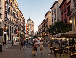
The Calle de Toledo is a historic street in central Madrid, Spain, running across the Centro and Arganzuela districts.

Carache is one of the 20 municipalities of the state of Trujillo, Venezuela. The municipality occupies an area of 957 km² with a population of 32,820 inhabitants according to the 2011 census.


