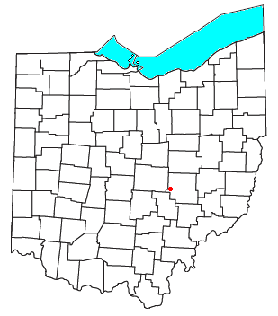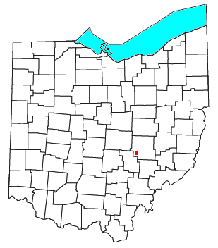
Unionville Center is a village in Union County, Ohio, in the United States. The population was 233 at the 2010 census.

Hopewell is an unincorporated community in central Hopewell Township, Muskingum County, Ohio, United States.

Grant is an unincorporated community and a U.S. Post Office in Park County, Colorado, United States.
Milligan is a small unincorporated community in southern Harrison Township, Perry County, Ohio, United States. It is located on State Route 93 between Crooksville and New Lexington.

Moxahala Creek is a tributary of the Muskingum River, 29.2 miles (47.0 km) long, in southeastern Ohio in the United States. Via the Muskingum and Ohio Rivers, it is part of the watershed of the Mississippi River, draining an area of 301 square miles (780 km2)

Rehoboth is an unincorporated community in southern Clayton Township, Perry County, Ohio, United States. Rehoboth is located along State Route 345, a short distance north of the county seat of New Lexington, and its ZIP code of 43764 is New Lexington's ZIP code.

Union Furnace is an unincorporated community in northern Starr Township, Hocking County, Ohio, United States. It has a post office with the ZIP code 43158. It is located along State Route 328, which forms the main street in Union Furnace.

Patriot is an unincorporated community in southern Perry Township, Gallia County, Ohio, United States. It has a post office with the ZIP code 45658.

Shade is an unincorporated community in southern Lodi Township, Athens County, Ohio, United States. It has a post office with the ZIP code 45776. It lies along U.S. Route 33.

New Marshfield is a census-designated place in central Waterloo Township, Athens County, Ohio, United States. The population was 316 at the 2020 census. It has a post office with the ZIP code 45766. It is located along State Route 56 west of the county seat of Athens.

Millfield is a census-designated place in northern Dover Township, Athens County, Ohio, United States. It had a population of 311 at the 2020 census. It has a post office with the ZIP code 45761. It is located near State Route 13 midway between Chauncey and Jacksonville. Route 13 formerly ran through the community, but a bypass relocated it close by.

New Plymouth is an unincorporated community in northwestern Brown Township, Vinton County, Ohio, United States. It has a post office with the ZIP code 45654. It is located at the intersection of State Routes 56 and 328 in the county's far northeast.

Ray is an unincorporated community in southeastern Harrison Township, Vinton County, Ohio, United States. It has a post office with the ZIP code 45672. It is located along State Route 327 in western Vinton County.

Richmond Dale is a census-designated place in central Jefferson Township, Ross County, Ohio, United States. It has a post office with the ZIP code 45673. It is located along U.S. Route 35 southeast of the county seat of Chillicothe. The population of the CPD was 386 at the 2020 census.

Londonderry is an unincorporated community in eastern Liberty Township, Ross County, Ohio, United States. It has a post office with the ZIP code 45647. It lies along U.S. Route 50 at its intersection with State Route 327.

Hallsville is an unincorporated community in northeastern Colerain Township, Ross County, Ohio, United States. It has a post office with the ZIP code 45633. It is located along State Route 180.

White Cottage is an unincorporated community in central Newton Township, Muskingum County, Ohio, United States. It has a post office with the ZIP code 43791. It lies along U.S. Route 22 between Zanesville and Lancaster.

Derby is an unincorporated community along the Ohio River in far southern Union Township, Perry County, in the U.S. state of Indiana. It lies at the intersection of State Roads 66 and 70 above the city of Tell City, the county seat of Perry County. Its elevation is 453 feet (138 m), and it is located at 38°1′49″N86°31′38″W. Although Derby is unincorporated, it has a post office, with the ZIP code of 47525.

North Woodbury is an unincorporated community in Morrow County, in the U.S. state of Ohio.
Moxahala Park is an unincorporated community in Muskingum County, in the U.S. state of Ohio.


