Herrick Township is a township in Susquehanna County, Pennsylvania, United States. The population was 713 at the 2010 census.

Berlin Township is a second-class township in Wayne County, Pennsylvania. The township's population was 2,578 at the time of the 2010 United States Census.

Buckingham is a second-class township in Wayne County, Pennsylvania. The township's population was 520 at the time of the 2010 United States Census.

Canaan is a second-class township in Wayne County, Pennsylvania. The township's population was 3,963 at the time of the 2010 United States Census.

Damascus is a second-class township in Wayne County, Pennsylvania. The township's population was 3,659 at the time of the 2010 United States Census.

Dreher is a second-class township in Wayne County, Pennsylvania. The township's population was 1,412 at the time of the 2010 United States Census.

Lake is a second-class township in Wayne County, Pennsylvania. The township's population was 5,269 at the time of the 2010 United States Census.
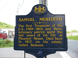
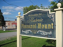
Mount Pleasant is a second-class township in Wayne County, Pennsylvania. The township's population was 1,357 at the time of the 2010 United States Census.

Preston is a second-class township in Wayne County, Pennsylvania. The township's population was 1,014 at the time of the 2010 United States Census.

Sterling is a second-class township in Wayne County, Pennsylvania. The township's population was 1,450 at the time of the 2010 United States Census.
Lake Ariel is a village in Lake Township, Wayne County, Pennsylvania and Salem Township, Pennsylvania. It was once the site of an amusement park. The main intersection is dominated by Saint Thomas Moore Roman Catholic Church and the Howe Convenient Market.

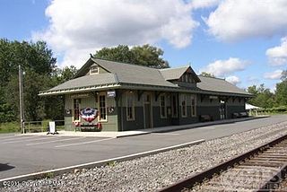
Orson is a village in Preston Township, Wayne County, Pennsylvania, in the Lake Region of the Poconos. It was once an important depot of the Scranton Division of the New York, Ontario & Western (O&W) Railway, but today, when it is known outside of its immediate vicinity, it is largely for being the site of the intersection of two state roads, Belmont Turnpike and Crosstown Highway, or as the location of Independent Lake Camp (ILC), since ILC's reputation and commercial reach, like those of most rural American summer camps, extend beyond the community in which the camp is physically located.
Gouldsboro is a village and census-designated place (CDP) in Lehigh Township, Wayne County, and Coolbaugh Township, Monroe County, in Pennsylvania. The CDP's population was 890 at time of the 2010 United States Census.
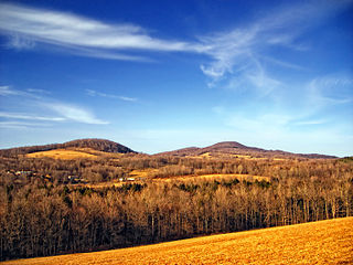
Mount Ararat is a mountain located in the Pennsylvania villages of Belmont Corners and Orson. Its summit, which is in Orson, is the highest point in Wayne County, Pennsylvania, and one of the higher points in eastern Pennsylvania. Mount Ararat is located in the Glaciated Low Plateaus geological section of Pennsylvania. This section is characterized with low rolling hills and modest relief. This summit is of low relief but stands as a peak above the countryside.

Poyntelle is a village in Preston Township, Wayne County, Pennsylvania, in the Lake Region of the Poconos. It was once a depot of the Scranton Division of the New York, Ontario & Western (O&W) Railway, but today, when it is known outside of its immediate vicinity, it is largely for being the location of Camps Westmont and Poyntelle Lewis Village, since the reputation and commercial reach of both, like those of most rural American summer camps, extend beyond the community in which the camps are physically located.
Milanville is a village in Damascus Township, Wayne County, Pennsylvania.

White Mills is a village and census-designated place in Texas Township, Wayne County, Pennsylvania. The CDP's population was 659 at time of the 2010 United States Census.

Damascus is a village in Damascus Township, Wayne County, Pennsylvania. The Damascus-Cochecton Bridge connects the town with Cochecton, New York across the Delaware River. The bridge is often used by smugglers of fireworks, legal in Pennsylvania but illegal in New York State, in the run-up to the Independence Day holiday, in whose observance fireworks are used extensively.

Jericho is a village in Sterling Township, Wayne County, Pennsylvania.
Tanners Falls is a village in Dyberry Township, Wayne County, Pennsylvania, in the Lake Region of the Poconos.