Mount Vernon is the Virginia estate of George Washington, the first President of the United States.
Mount Carmel is a census-designated place (CDP) in Clermont County, Ohio, United States. The population was 4,828 at the 2020 census.

Mount Vernon is a city in and the county seat of Knox County, Ohio, United States, along the Kokosing River. It is located 40 miles (64 km) northeast of Columbus. The population was 16,956 at the 2020 census.

Oakwood is an unincorporated area and census-designated place (CDP) in Lawrence County, Pennsylvania, United States. The population was 2,270 at the 2010 census.

Hybla Valley is a census-designated place (CDP) in Fairfax County, Virginia, United States, south of Alexandria. The population was 15,801 at the 2010 census, down from 16,721 in 2000 due to a reduction in area, resulting from some of the eastward neighborhoods including much of Hollin Hills being moved to the Fort Hunt CDP. The population increased to 16,319 in the 2020 census.

Mount Vernon is a census-designated place (CDP) and unincorporated community in Fairfax County, Virginia, United States. The population was 12,416 at the 2010 census. Primarily due to its historical significance and natural recreation and beauty, the Mount Vernon area receives over one million tourists each year.

Mount Gay-Shamrock is a census-designated place (CDP) in Logan County, West Virginia, United States.

Pleasant Township is one of the twenty-two townships of Knox County, Ohio, United States. The 2020 census found 1,657 people in the township.

Knox Township is one of the fourteen townships of Jefferson County, Ohio, United States. The 2020 census found 4,317 people in the township.

Clinton Township is one of the twenty-two townships of Knox County, Ohio, United States. The 2020 census found 2,886 people in the township.
Monroe Township is one of the twenty-two townships of Knox County, Ohio, United States. The 2020 census found 2,339 people in the township.

Morris Township is one of the twenty-two townships of Knox County, Ohio, United States. The 2020 census found 2,098 people in the township.

Brownsville is an unincorporated community and census-designated place (CDP) in northeastern Bowling Green Township, Licking County, Ohio, United States. As of the 2020 census, it had a population of 214. It lies at the intersection of U.S. Route 40 with State Route 668.
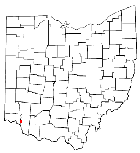
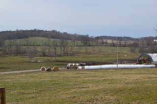
Bladensburg is a census-designated place (CDP) on the border between Clay and Jackson townships, Knox County, Ohio, United States. As of the 2020 census the CDP had a population of 180. It has a post office with the ZIP code 43005. It lies along State Route 541 east of Martinsburg.
Frizzleburg is an unincorporated community and census-designated place (CDP) in Lawrence County, Pennsylvania, United States. The population was 602 at the 2010 census.
Kanauga is an unincorporated community and census-designated place (CDP) in Gallia County, Ohio, United States. As of the 2020 census it had a population of 185.

East Alliance is an unincorporated community and census-designated place (CDP) in Mahoning County, Ohio, United States. It was first listed as a CDP prior to the 2020 census.
Hidden Lakes is a census-designated place (CDP) in Morrow County, Ohio, United States. It was first listed as a CDP prior to the 2020 census.
Wilkshire Hills is an unincorporated community and census-designated place (CDP) in Tuscarawas County, Ohio, United States. It was first listed as a CDP in the 2020 census.
Danby is an unincorporated village and census-designated place (CDP) in the towns of Danby and Mount Tabor, Rutland County, Vermont, United States. As of the 2020 census, it had a population of 200.


