
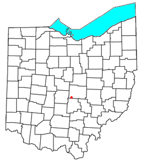
Licking County is a county located in the central portion of the U.S. state of Ohio. As of the 2020 census, the population was 178,519. Its county seat is Newark. The county was formed on January 30, 1808, from portions of Fairfield County.

Harbor Hills is a census-designated place (CDP) in Licking County, Ohio, United States. The population was 1,509 at the 2010 census, up from 1,303 at the 2000 census. It includes the unincorporated communities of Harbor Hills and Edgewater Beach.

Licking Township is one of the twenty-five townships of Muskingum County, Ohio, United States. The 2000 census found 2,248 people in the township.
Licking Township is one of the 25 townships of Licking County, Ohio, United States. As of the 2010 census, the population was 4,632, up from 3,870 at the 2000 census.
Jacksontown is a census-designated place (CDP) in central Licking Township, Licking County, Ohio, United States. It has a post office with the ZIP code 43030. It lies at the intersection of U.S. Route 40 with State Route 13.

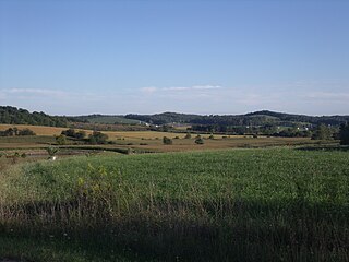
Brownsville is an unincorporated community and census-designated place (CDP) in northeastern Bowling Green Township, Licking County, Ohio, United States. As of the 2010 census, it had a population of 220. It lies at the intersection of U.S. Route 40 with State Route 668.
Etna is an unincorporated community and census-designated place (CDP) in Licking County, Ohio, United States. As of the 2010 census it had a population of 1,215. It lies at an elevation of 1,069 feet (326 m) at the intersection of U.S. Route 40 and State Route 310. It was listed as a census-designated place in 2010.
Jersey is a census-designated place (CDP) in Licking County, in the U.S. state of Ohio.
Amsterdam is an unincorporated community in Licking County, in the U.S. state of Ohio.
Linnville is an unincorporated community in Licking County, in the U.S. state of Ohio.
Appleton is an unincorporated community in Licking County, in the U.S. state of Ohio.
Chatham is an unincorporated community in Licking County, in the U.S. state of Ohio.
Columbia Center is a historic neighborhood of the city of Pataskala in Licking County, Ohio, United States. It lies slightly more than 1 mile (1.6 km) west of Pataskala's downtown.
Denmans Crossroads is a ghost town in Licking County, in the U.S. state of Ohio.
Fredonia is an unincorporated community in Licking County, in the U.S. state of Ohio.
Luray is an unincorporated community in Licking County, in the U.S. state of Ohio.
New Way is an unincorporated community in Licking County, in the U.S. state of Ohio.

Outville is an unincorporated community in Licking County, in the U.S. state of Ohio.
Union Station is an unincorporated community in Licking County, in the U.S. state of Ohio.
Wilkins Run is an unincorporated community in Licking County, in the U.S. state of Ohio.


