Adra Ramchandrapur ( আদ্রা ) আদ্রা | |
|---|---|
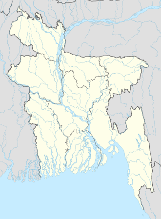 Adra Ramchandrapur ( আদ্রা ) Location in Bangladesh | |
| Coordinates: 23°18′N90°59′E / 23.300°N 90.983°E | |
| Country | |
| Division | Chittagong Division |
| District | Comilla District |
| Time zone | UTC+6 (Bangladesh Time) |
| Postal code | 3561 |
Adra Ramchandrapur is a village in Comilla District in the Chittagong Division of eastern Bangladesh. [1]