| Akita-Yake-Yama | |
|---|---|
 Mountaintop | |
| Highest point | |
| Elevation | 1,366 m (4,482 ft) |
| Coordinates | 39°57′40″N140°45′38″E / 39.96111°N 140.76056°E |
| Naming | |
| Native name | 秋田焼山 (Japanese) |
| Geography | |
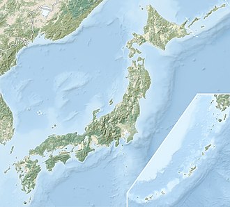 Akita-Yake-Yama | |
| Geology | |
| Mountain type | Stratovolcano |
| Volcanic arc | Northeastern Japan Arc |
| Last eruption | August 1997 |

Akita-Yake-Yama is a small stratovolcano in Akita Prefecture, Japan, that is known for its radioactive waters. A small parasitic lava dome is located four kilometers from the volcano. [1]