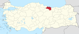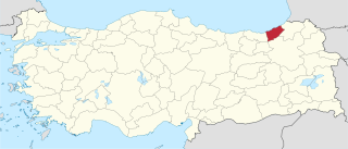
Giresun Province is a province of Turkey on the Black Sea coast. Its adjacent provinces are Trabzon to the east, Gümüşhane to the southeast, Erzincan to the south, Sivas to the southwest, and Ordu to the west. Its license-plate code is 28.

Ordu Province is a province of Turkey, located on the Black Sea coast. Its adjacent provinces are Samsun to the northwest, Tokat to the southwest, Sivas to the south, and Giresun to the east. Its license-plate code is 52.

Rize Province is a province of northeast Turkey, on the eastern Black Sea coast between Trabzon and Artvin. The province of Erzurum is to the south. It was formerly known as Lazistan, the designation of the term of Lazistan was officially banned in 1926, by patriots. The province is home to Laz, Hemshin, Turkish people and Georgian communities. Turkish president Recep Tayyip Erdoğan spent his early childhood in Rize, where his father was a member of the Turkish Coast Guard, and from which both of Erdogan's parents come from.
Aksu or Aqsu may refer to:

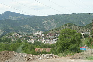
Dereli is a town and district of Giresun Province in the Black Sea region of Turkey. The mayor is Kazım Zeki Şenlikoğlu (AKP).

Şavşat is a town and district of Artvin Province in the Black Sea region, between the cities of Artvin and Kars on the border with Georgia at the far eastern end of Turkey.

The Black Sea Region is a geographical region of Turkey.
Gelevara Deresi is one of two main streams of Espiye, a district of Giresun province in the eastern Black Sea region of Turkey. Its two main tributaries arise in the highlands of Espiye district of Giresun and Torul district of Gümüşhane.

Yağlıdere is a long and highly voluminous stream that flows to the Black Sea in the west end of the Espiye which is the capital town of the Espiye district with same name in Giresun Province in Turkey.

Giresun Island is a small island that has an area of 4 hectares and lies 1.2 km from the Turkish city of Giresun on the southeastern coast of Black Sea. It is the largest island on the Turkish Black Sea coast.
The Hamza Stone is a large black-colored boulder on the eastern coast of Giresun Island in the Black Sea, located 1.2 km off the coast of the Turkish city of Giresun. The stone, known to locals since around 2000 BCE, symbolizes Kybele, an ancient Anatolian mother goddess.
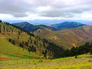
Karagöl is a tourist attraction of Giresun Province located in eastern Black Sea region of Turkey.
Aksu is the name of a small village, located in the upper basin of the Aksu Deresi stream in Dereli district of Giresun Province.

Duroğlu is a belde (town) in the central district (Giresun) of Giresun Province, Turkey. At 40°50′20″N38°28′17″E Duroğlu is situated along the Aksu River. It is 8 kilometres (5.0 mi) north of Giresun and the Black Sea coast. The population of Duroğlu was 2919 as of 2013. The town which is thought to be five centuries old was probably a caravan stop between the Black Sea coast and Central Anatolia in the historical times.

Yavuzkemal is a belde (town) in Dereli district of Giresun Province, Turkey. It is a dispersed settlement, typical of Black Sea region, situated at 40°38′N38°19′E to the west of Aksu River. The distance to Dereli is 20 kilometres (12 mi) and to Giresun is 64 kilometres (40 mi). The population of Yavuzkemal is 1669 as of 2011. The settlement was founded by a Turkmen tribe named Kırık in the 14th century and the former name of the settlement was Nahiye'i Kırık. According to official records of the Ottoman Empire the population of the settlement decreased in 1485 probably because some of the population was transferred to the newly conquered Trabzon. The settlement was declared a seat of township in 1998.

Fırtına or Peruma is one of the main water streams of Rize Province in the eastern Black Sea Region of Turkey. Its name is Turkish for "storm water". There is a group of more than 20 well-preserved Ottoman-era bridges over the Fırtına Deresi.
This page is based on this
Wikipedia article Text is available under the
CC BY-SA 4.0 license; additional terms may apply.
Images, videos and audio are available under their respective licenses.


