
Castelcivita is a town and comune in the province of Salerno in the Campania region of south-western Italy.
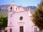
Controne is a town and comune in the province of Salerno in the Campania region of south-western Italy.

Corleto Monforte is a town and comune with 615 residents in the province of Salerno in the Campania region of south-western Italy.

Montesano sulla Marcellana is a town and comune of the province of Salerno in the Campania region of south-west Italy.

Ottati is a town and comune in the province of Salerno in the Campania region of south-west Italy. As of 2011 its population was of 680.

Polla is a town and comune of the province of Salerno in the Campania region of south-west Italy. In 2011 its population was 5,327.
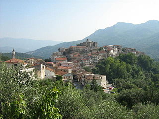
Rofrano is a town and comune of the province of Salerno in the Campania region of south-west Italy. It is located in the southern Cilento. In 2015 its population was 1,539.

Roscigno is a small town and comune in Salerno, Campania, Italy. It is located on the slope of Monte Pruno.

Sacco is a town and comune in the province of Salerno in the Campania region of south-western Italy. As of 2011, its population was 582.

San Rufo is a village and comune in the province of Salerno, in the Campania region of southern Italy located in the Vallo di Diano. San Rufo extends over 31 square kilometres, much of which is mountainous or hilly terrain. With defence in mind, the old town was built at over 600 meters above sea level. Another reason for the choice of location was the marshy nature of the wide Vallo di Diano plain, which sits at an average 450 metres above sea level.

Sant'Angelo a Fasanella is a town and comune in the province of Salerno in the Campania region of south-western Italy.
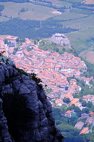
Sicignano degli Alburni is a town and comune in the province of Salerno in the Campania region of southern Italy.
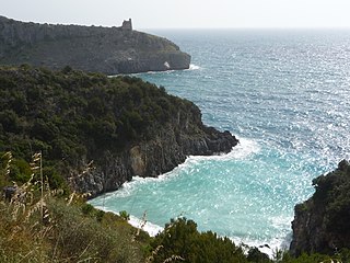
Cilento is an Italian geographical region of Campania in the central and southern part of the Province of Salerno and an important tourist area of southern Italy.
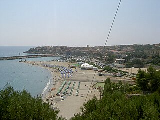
Marina di Camerota is an Italian town, the largest Civil parish (frazione) of Camerota, situated in the province of Salerno, Campania. In 2007 it had a population of 2,674.

Pruno is a forest in the Campania region of southern Italy. It is the largest woodlands of central Cilento region. The hamlets (frazioni) with this name are situated in the municipalities of Laurino, Valle dell'Angelo and Piaggine, and are considered a singular village.

Cilento, Vallo di Diano and Alburni National Park is an Italian national park in the Province of Salerno, in Campania in southern Italy. It includes much of the Cilento, the Vallo di Diano and the Monti Alburni. It was founded in 1991, and was formerly known as the Parco Nazionale del Cilento e Vallo di Diano.

The Vallo di Diano is an Italian valley of the south-eastern side of Campania, in the province of Salerno.
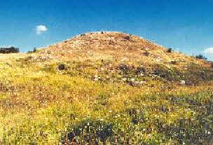
Monte Pruno is a mountain in the southern Cilento region of the Province of Salerno, in the Campania region, of southern Italy. It is 879 metres (2,884 ft) above sea level.

Gelbison is a mountain in the Lucan Subappennines range of the Apennine Mountains system, with an elevation of 1,705 metres (5,594 ft). It is located in the southern Cilento region of the Province of Salerno, in the Campania region, of southern Italy.
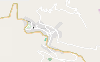
Cardile is a southern Italian village and the only hamlet (frazione) of Gioi, a municipality in the province of Salerno, Campania. As of 2009 its population was of 614.


