You can help expand this article with text translated from the corresponding article in Italian. (January 2022)Click [show] for important translation instructions.
|
Castelcivita | |
|---|---|
| Comune di Castelcivita | |
 Panoramic view | |
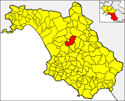 Castelcivita within the Province of Salerno | |
 Castelcivita Location of Castelcivita in Italy  Castelcivita Castelcivita (Campania) | |
| Coordinates: 40°29′N15°14′E / 40.483°N 15.233°E | |
| Country | Italy |
| Region | Campania |
| Province | Salerno (SA) |
| Frazioni | Cosentini, Pantano-Serracchio, Serra |
| Government | |
| • Mayor | Antonio Forziati |
| Area | |
• Total | 57 km2 (22 sq mi) |
| Elevation | 487 m (1,598 ft) |
| Population (28 February 2017) [2] | |
• Total | 1,678 |
| • Density | 29/km2 (76/sq mi) |
| Demonym | Castelcivitesi |
| Time zone | UTC+1 (CET) |
| • Summer (DST) | UTC+2 (CEST) |
| Postal code | 84020 |
| Dialing code | 0828 |
| Patron saint | St. Cono, St. Nicholas of Bari |
| Saint day | June 3, December 6 |
| Website | Official website |
Castelcivita (Cilentan: A Castellucce) is a town and comune in the province of Salerno in the Campania region of south-western Italy.