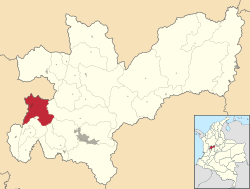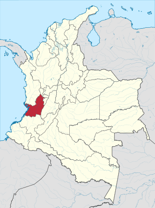
Valle del Cauca, or Cauca Valley, is a department in western Colombia abutting the Pacific Ocean. Its capital is Santiago de Cali. Other cities such as Buenaventura, Buga, Cartago, Palmira and Tuluá have great economical, political, social and cultural influence on the department's life. Valle del Cauca has the largest number of independent towns with over 100,000 inhabitants in the country, counting six within its borders. Buenaventura has the largest and busiest seaport in Colombia, moving about 8,500,000 tons of merchandise annually.

Cajamarca is a town and municipality in the Tolima Department of Colombia. The population of the municipality was 17,309 as of the 2018 census. The municipality has two populated centres, the town centre of Cajamarca and the locality of Anaime. It is located along the Pan-American Highway.
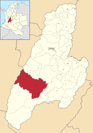
Chaparral is a town and municipality in the Tolima department of Colombia.

Villahermosa is a town and municipality in the Tolima department of Colombia. The population of the municipality was 12,574 as of the 1993 census. The municipality is also one of the most important coffee producers of Tolima's north.

Barbosa is a town and municipality in Antioquia Department, Colombia. Situated 39 km from Medellín's downtown, it is one of the municipalities of the Metropolitan Area of the Aburrá Valley. The population was estimated to be 54,347 in 2020. It is known as the Gateway to the Northeast, famous for its lakes and streams. A traditional Pineapple Festival is held here in December and a Train Festival in the district of El Hatillo in August.
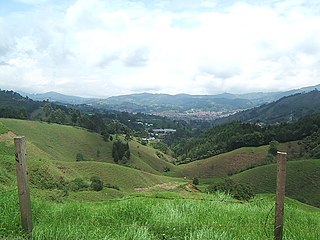
Caldas is a town and municipality in Antioquia Department, Colombia. Caldas is part of The Metropolitan Area of the Aburrá Valley. It is the seat of the Roman Catholic Diocese of Caldas. The population was estimated to be 83,423 in 2020.
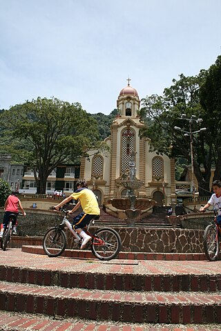
Fredonia is a town and municipality in the Colombian department of Antioquia. It is part of the sub-region of Southwestern Antioquia. According to the 2018 census, the population comprises 18,790 people.
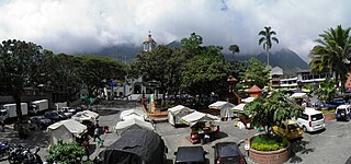
Támesis is a town and municipality in the Colombian department of Antioquia. Part of the subregion of Southwestern Antioquia. Located at an elevation of 1,638 m above sea level, it was established in 1858. The local economy is based on agriculture.

Valdivia is a town and municipality in Antioquia Department, Colombia. Part of the subregion of Northern Antioquia, its population was 11,511 at the 2018 census.

Venecia is a town and municipality in Antioquia Department, Colombia. According to the 2018 census, the population comprised 10,280 people.

San Rafael is a town and municipality in Antioquia Department, Colombia. Part of the subregion of Eastern Antioquia.

Corozal is a town and municipality in the Sucre Department, northern Colombia.

El Carmen de Atrato is a municipality and town in the Chocó Department, Colombia.

Salamina is a town and municipality in the Colombian department of Caldas. It is located north of the department and has a township called San Felix. It was declared a national monument and historic heritage of mankind.

Supía is a town and municipality in the Colombian Department of Caldas. Located along the Colombian coffee growing axis, it was part of the "Coffee Cultural Landscape" UNESCO World Heritage Site in 2011.

Santuario is a town and municipality in the Department of Risaralda, Colombia. About 64 km away from the capital Pereira. In 2023 the town had an estimated population of 12,826.

Brazacorta is a municipality and town located in the province of Burgos, Castile and León, Region of Ribera, Spain. According to the 2007 census (INE), the municipality had a population of 75 inhabitants.

Pozuelo de la Orden is a municipality located in the province of Valladolid, Castile and León, Spain. According to the 2004 census (INE), the municipality has a population of 75 inhabitants.
Naranjos Amatlán is a municipality in the Mexican state of Veracruz. It is located in the north zone of the state, about 402 km from the state capital Xalapa. The municipal seat is Naranjos.
