ash-Sheikh Sa'd | |
|---|---|
| Arabic transcription(s) | |
| • Arabic | خربة الشيخ سعد |
 ash-Sheikh Sa'd Location of ash-Sheikh Sa'd within Palestine | |
| Coordinates: 31°44′14″N35°15′26″E / 31.73722°N 35.25722°E | |
| State | State of Palestine |
| Governorate | Jerusalem |
| Government | |
| • Type | Village council |
| Population (2017) [1] | |
• Total | 2,776 |
| Name meaning | Sheik Sad -from "fortunate" [2] |
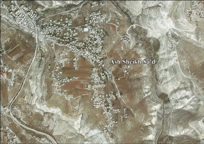
ash-Sheikh Sa'd (Arabic : خربة الشيخ سعد) is a Palestinian village in the Jerusalem Governorate, located 6 kilometers Southeast of Jerusalem in the central West Bank. According to the Palestinian Central Bureau of Statistics, the village had a population of 2,776 in 2017. [1]
Contents
The village's residents have family in Jabel Mukaber, an Arab neighborhood in East Jerusalem, and attend school there. Sheikh Sa'd's cemetery is located in the neighborhood as well. Since the Second Intifada in 2000, Sheikh Sa'd residents have not been allowed to enter Jabel Mukaber without a permit. [3]
