Auenheim | |
|---|---|
Part of Rountzenheim-Auenheim | |
 Blockhouse 1 in Auenheim | |
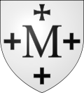
 Coat of arms | |
Location of Auenheim  | |
 Auenheim  Auenheim | |
| Coordinates: 48°48′44″N8°00′38″E / 48.8122°N 8.0106°E Coordinates: 48°48′44″N8°00′38″E / 48.8122°N 8.0106°E | |
| Country | France |
| Region | Grand Est |
| Department | Bas-Rhin |
| Arrondissement | Haguenau-Wissembourg |
| Canton | Bischwiller |
| Commune | Rountzenheim-Auenheim |
| Area 1 | 4.24 km2 (1.64 sq mi) |
| Population (2019) [1] | 887 |
| • Density | 210/km2 (540/sq mi) |
| Time zone | UTC+01:00 (CET) |
| • Summer (DST) | UTC+02:00 (CEST) |
| Postal code | 67480 |
| Elevation | 116–121 m (381–397 ft) |
| 1 French Land Register data, which excludes lakes, ponds, glaciers > 1 km2 (0.386 sq mi or 247 acres) and river estuaries. | |
Auenheim (Alsatian: Auenem) is a former commune in the Bas-Rhin department in the Grand Est region of north-eastern France. On 1 January 2019, it was merged into the new commune Rountzenheim-Auenheim. [2]
Contents
- Geography
- Neighbouring communes and villages
- Toponymy
- Heraldry
- Administration
- Demography
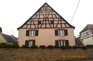
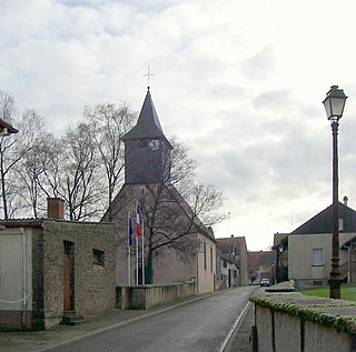
- Culture and heritage
- Civil heritage
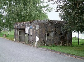
- The Maginot Line
- Religious heritage
- Notable people linked to the commune
- See also
- References
- External links
The inhabitants of the commune are known as Auenheimois or Auenheimoises. [3]