
Belo Horizonte is the sixth-largest city in Brazil, with a population around 2.7 million and with a metropolitan area of 6 million people. It is the 13th-largest city in South America and the 18th-largest in the Americas. The metropolis is anchor to the Belo Horizonte metropolitan area, ranked as the third-most populous metropolitan area in Brazil and the 17th-most populous in the Americas. Belo Horizonte is the capital of the state of Minas Gerais, Brazil's second-most populous state. It is the first planned modern city in Brazil.

Minas Gerais is a state in Southeastern Brazil. It ranks as the second most populous, the third by gross domestic product (GDP), and the fourth largest by area in the country. The state's capital and largest city, Belo Horizonte, is a major urban and finance center in Latin America, and the sixth largest municipality in Brazil, after the cities of São Paulo, Rio de Janeiro, Salvador, Brasília and Fortaleza, but its metropolitan area is the third largest in Brazil with just over 5,800,000 inhabitants, after those of São Paulo and Rio de Janeiro. Nine Brazilian presidents were born in Minas Gerais, the most of any state. The state has 10.1% of the Brazilian population and is responsible for 8.7% of the Brazilian GDP.

Uberlândia is a municipality in the state of Minas Gerais, southeastern Brazil. It is the second largest municipality in the state of Minas Gerais after the state capital Belo Horizonte. Its population in 2020 was 699,097, making it the fourth largest city of the interior region of Brazil. The city is located on the Brazilian Highlands 2,802 feet (854 m) above sea level. It is an important logistic hub between São Paulo and Brasília. The city sits within the Brazilian cerrado and has eight protected zones of tropical savanna vegetation.

Juiz de Fora, also known as J.F., is a city in the southeastern Brazilian state of Minas Gerais, approximately 40 kilometres (25 mi) from the state border with Rio de Janeiro. According to 2020 estimates the current population is about 573,285 inhabitants. The geographical area of the municipality is 1,437 km2 (555 sq mi).
Patrocínio is a municipality in the state of Minas Gerais in Brazil. The population is 91,449 in an area of 2874 km2. The elevation is 965 m.

Salinas is a municipality in the northeast of the Brazilian state of Minas Gerais.

Alpercata is a Brazilian municipality located in the northeast of the state of Minas Gerais. Its population as of 2020 was 7,436 people living in a total area of 167 km². The city belongs to the meso-region of Vale do Rio Doce and to the micro-region of Governador Valadares. It became a municipality in 1962.

BR-153 is a major federal highway of Brazil, officially named the Transbrasiliana Highway. It also serves as part of the Belém-Brasília Highway in the stretch located between the cities of Wanderlândia, in the state of Tocantins, and Anápolis, in the state of Goiás.

Gouvelândia is a municipality in south Goiás state, Brazil. Gouvelândia is a large producer of sesame and peanuts.

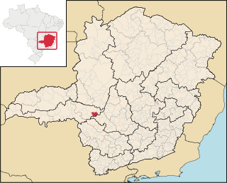
Bom Despacho is a Brazilian municipality located in the west of the state of Minas Gerais. The population is 51,028 in an area of 1213.55 km². The city belongs to the meso-region of Central Mineira and to the micro-region of Bom Despacho. It became a municipality in 1912.

Durandé is a Brazilian municipality located in the state of Minas Gerais. The city belongs to the mesoregion of Zona da Mata and to the microregion of Manhuaçu. Districts within the county are St. John Figueira and São José da Figueira.

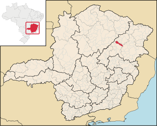
Carbonita is a municipality in the northeast of the Brazilian state of Minas Gerais. As of 2020 the population was 9,414 in a total area of 1,454 km². The elevation of the town center is 751 meters. It is part of the IBGE statistical meso-region of Jequitinhonha and the micro-region of Capelinha. It became a municipality in 1963.
Chapada do Norte is a municipality in the northeast of the Brazilian state of Minas Gerais. As of 2020 the population was 15,345 in a total area of 828 km². The elevation of the town center is 751 meters. It is part of the IBGE statistical meso-region of Jequitinhonha and the micro-region of Capelinha. It became a municipality in 1963.
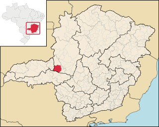
Pratinha is a Brazilian municipality located in the west of the state of Minas Gerais. Its population as of 2020 was 3,631 people living in a total area of 619 km². The city belongs to the meso-region of Triângulo Mineiro and Alto Paranaíba and to the micro-region of Araxá. It became a municipality in 1949.

Tapira is a Brazilian municipality located in the west of the state of Minas Gerais. Its population as of 2020 was 4,832 people living in a total area of 1,180 km². The city belongs to the meso-region of Triângulo Mineiro and Alto Paranaíba and to the micro-region of Araxá. It became a municipality in 1963.

Tapiraí is a Brazilian municipality located in the west of the state of Minas Gerais. Its population as of 2020 was 1,872 people living in a total area of 412 km². The city belongs to the meso-region of Oeste de Minas and to the micro-region of Piumhi. It became a municipality in 1954.

Vargem Bonita is a Brazilian municipality located in the west of the state of Minas Gerais. Its population as of 2020 was 2,148 people living in a total area of 409 km². The city belongs to the meso-region of Oeste de Minas and to the micro-region of Piumhi. It became a municipality in 1953.

Caetanópolis is a Brazilian municipality located in the northeast of the state of Minas Gerais. Its population as of 2020 was 11,749 people living in a total area of 156 km². The city belongs to the meso-region of Metropolitana de Belo Horizonte and to the micro-region of Sete Lagoas. It became a municipality in 1954.

Cabo Verde is a Brazilian municipality located in the southwest of the state of Minas Gerais. Its population as of 2020 was 14,075 people living in a total area of 367 km². The city belongs to the meso-region of Sul e Sudoeste de Minas and to the micro-region of São Sebastião do Paraíso. It became a municipality in 1877. The municipality is an important producer of coffee.
The 2000 Campeonato Mineiro was the 86th edition of the state championship of Minas Gerais organized by the FMF. The competition began on 23 January and ended on 8 June 2000.
