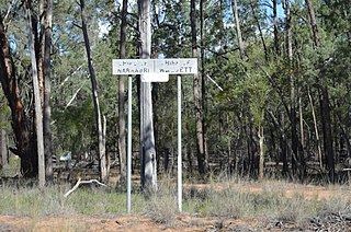
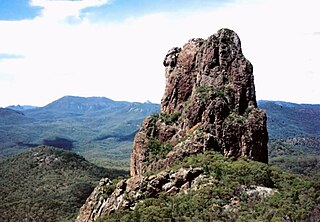
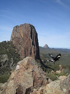
The Parish of Nattery is a parish of Argyle County located between Goulburn and Marulan in New South Wales. It is just east of the village of Towrang and includes the locality of Carrick. The Wollondilly River is the boundary in the north-west. Jerraba creek is part of the boundary in the south-east. The Southern Highlands railway line runs through the northern end of the parish, to the east of the Wollondilly river. The Hume Highway passes through the middle of the parish.

Pilliga Parish is a civil parish of Baradine County, New South Wales.

Wilber Parish, New South Walesis a bounded rural locality of Coonamble Shire and a civil parish of Gowen County, New South Wales.

Cobbinbil Parish, New South Wales is a bounded rural locality and a civil parish of Cowen County, New South Wales.

Naman, New South Wales is a bounded rural locality of Coonamble Shire and a civil parish of Gowen County, New South Wales.

Uargon, New South Wales is a bounded rural locality of Gilgandra Shire and a civil parish of Gowen County, New South Wales.

Youlbung, New South Wales is a bounded rural locality of Gilgandra Shire and a civil parish of Gowen County, a cadastral division of New South Wales.

Wallumburrawang, New South Wales is a bounded rural locality of Gilgandra Shire and a civil parish of Gowen County, New South Wales.

Kirban, New South Wales is a bounded rural locality of Gilgandra Shire and a civil parish of Gowen County, New South Wales.

Dilly Parish, New South Wales is a bounded rural locality of Gilgandra Shire and a civil parish of Gowen County, a cadastral division of New South Wales.

Bearbong, New South Wales is a bounded rural locality of Gilgandra Shire and a civil parish of Gowen County, a county of New South Wales.

Biralbung, New South Wales is a bounded rural locality of Gilgandra Shire and a civil parish of Gowen County, a civil county of New South Wales.

Burrendah, New South Wales is a bounded rural locality of Gilgandra Shire and a civil parish of Gowen County, a county of New South Wales.

Balumbridal is a bounded rural locality and a civil parish of Gowen County, New South Wales.

Gundi, New South Wales is a bounded rural locality and civil parish of Gowen County, in New South Wales.

Yarrawin, New South Wales is a bounded rural locality and a civil parish of Gowen County, New South Wales.

Nandi Parish is a bounded rural locality and civil parish of Gowen County, in New South Wales.

Yarrawin, New South Wales is a bounded rural locality of the Warrumbungle Shire and a civil parish of Gowen County, New South Wales.

Callangoan, New South Wales is a bounded rural locality of Gilgandra Shire, and a civil parish of Gowen County, a county of New South Wales.

Caraghnan Parish, New South Wales is a bounded rural locality in Coonamble Shire and a civil parish of Gowen County, New South Wales.


