| Baythorpe | |
|---|---|
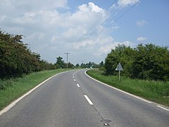 A52 at Baythorpe | |
 Baythorpe Location within Lincolnshire | |
| OS grid reference | TF2441 |
| Shire county | |
| Region | |
| Country | England |
| Sovereign state | United Kingdom |
| Post town | Boston |
| Postcode district | PE20 |
| Police | Lincolnshire |
| Fire | Lincolnshire |
| Ambulance | East Midlands |
Baythorpe is a village in Lincolnshire, England. [1] [2] It is in the civil parish of Swineshead.