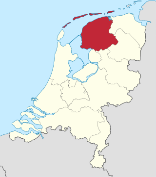
Friesland, historically and traditionally known as Frisia, named after the Frisians, is a province of the Netherlands located in the country's northern part. It is situated west of Groningen, northwest of Drenthe and Overijssel, north of Flevoland, northeast of North Holland, and south of the Wadden Sea. As of January 2023, the province had a population of about 660,000, and a total area of 5,753 km2 (2,221 sq mi).

Buitenpost is a village in north-east Friesland in the Netherlands.
Drogeham is a village of about 1,700 inhabitants in the Dutch province of Friesland.

Eanjum is a village in the Dutch province of Friesland. It is located in the municipality Noardeast-Fryslân and had, as of January 2017, a population of 1136.
Surhuisterveen is the largest of the 12 villages of the municipality of Achtkarspelen, in the province of Friesland, the Netherlands. As of 1 January 2017, Surhuisterveen had a population of 5,929.
Harkema is a village in the municipality of Achtkarspelen, Friesland province, the Netherlands.

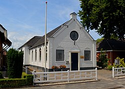
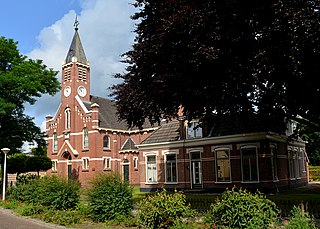
Augustinusga is a village in the municipality of Achtkarspelen, Friesland province, The Netherlands.

De Wilp is a village in the Netherlands south of the town of Marum. It is largely located in the municipality of Westerkwartier in the province of Groningen, but a few houses of the village are in the municipality of Opsterland in the province of Friesland.

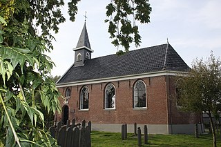
Wâlterswâld is a village in Dantumadiel municipality, Friesland, the Netherlands. The village had a population of approximately 920 in 2017.

Kootstertille is a village in Achtkarspelen in the province of Friesland, the Netherlands. It had a population of around 2500 in 2017.

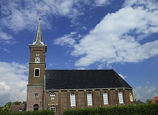
Twijzel is a village in Achtkarspelen in the province of Friesland, the Netherlands, with a population of around 1080.

Twijzelerheide is a village in Achtkarspelen in the province of Friesland, the Netherlands. It had a population of around 1800 in 2017.

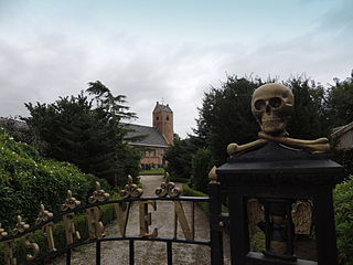
Surhuizum is a village in Achtkarspelen in the province of Friesland, the Netherlands. It had a population of around 1300 in 2017. Surhuizum is known for its church tower.

Ingwierrum is a village in Noardeast-Fryslân in the province of Friesland, the Netherlands. It had a population of approximately 565 in January 2017. Before 2019, the village was part of the Dongeradeel municipality.

Eastrum is a village in Noardeast-Fryslân in the province of Friesland, the Netherlands. It had a population of around 188 in January 2017. Before 2019, the village was part of the Dongeradeel municipality.

Gerkesklooster is a village in Achtkarspelen in the province of Friesland, the Netherlands.

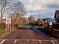
Stroobos is a village in Achtkarspelen in the province of Friesland, the Netherlands. The settlement of Stroobos used to be divided between Friesland and Groningen. In 1993, the entire village was transferred to Friesland.

Rinsumageast is a village in the Dantumadiel municipality of Friesland, the Netherlands. It had a population of around 965 in 2017.
Driezum is a village in the Dantumadiel municipality of Friesland, the Netherlands. It had a population of around 850 in 2017.

Aldwâld is a village in Noardeast-Fryslân municipality in the province of Friesland, the Netherlands. It had a population of around 832 in January 2017. Before 2019, the village was part of the Kollumerland en Nieuwkruisland municipality.