Bojanovice | |
|---|---|
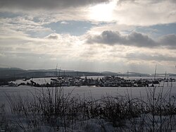 General view | |
 Flag  Coat of arms | |
 Bojanovice Location in the Czech Republic | |
| Coordinates: 49°51′16″N14°21′8″E / 49.85444°N 14.35222°E | |
| Country | |
| Region | Central Bohemian |
| District | Prague-West |
| First mentioned | 1107 |
| Area | |
• Total | 10.90 km2 (4.21 sq mi) |
| Elevation | 355 m (1,165 ft) |
| Population (2025-01-01) [1] | |
• Total | 486 |
| • Density | 45/km2 (120/sq mi) |
| Time zone | UTC+1 (CET) |
| • Summer (DST) | UTC+2 (CEST) |
| Postal code | 252 06 |
| Website | bojanovice |
Bojanovice is a municipality and village in Prague-West District in the Central Bohemian Region of the Czech Republic. It has about 500 inhabitants.