Crater Precinct is located in Calhoun County, Illinois, USA. As of the 2020 census the population was 502, a decline from 525 at the 2010 census.

Gilead Precinct is located in Calhoun County, Illinois. The population was 314 at the 2020 census, a decrease from 342 at the 2010 census.

Hamburg Precinct is located in Calhoun County, Illinois. The population at the 2020 census was 454, a decline from 561 at the 2010 census.

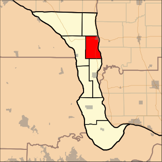
Hardin Precinct is located in Calhoun County, Illinois. The population was 1,170 at the 2020 census, a decrease from 1,330 at the 2010 census.

Point Precinct is located in Calhoun County, Illinois. The population was 900 at the 2020 census, a decrease from 1,066 at the 2010 census.
Richwood Precinct is located in Calhoun County, Illinois. The population was 844 at the 2010 census, an increase from 820 in 2000.
French Creek Precinct is one of the 12 precincts of Edwards County, Illinois. The precinct seat is Grayville. As of the 2020 census, the population was 922.

Cave-In-Rock Precinct is located in Hardin County, Illinois, USA. As of the 2020 census, its population was 525.

McFarlan Precinct is located in Hardin County, Illinois, USA. As of the 2020 census, its population was 527.

Monroe Precinct is located in Hardin County, Illinois, USA. As of the 2020 census, its population was 580.

Rock Precinct is located in Hardin County, Illinois, USA. As of the 2020 census, there were 155 households and a population of 411.
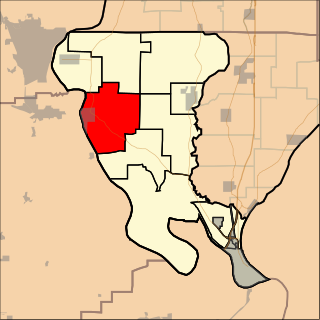
Cache Precinct is one of seven precincts in Alexander County, Illinois, United States. As of the 2020 census, its population was 225.

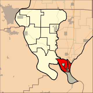
Cairo Precinct is located in Alexander County, Illinois, United States. As of the 2020 census, its population was 1,733. The precinct is coterminous with the city of Cairo.
Albion No. 2 is an election precinct, or township equivalent, in Edwards County, Illinois. As of the 2020 Census the population was 780.
Browns is an election precinct, or township equivalent, in Edwards County, Illinois. As of the 2020 Census the population was 324.
Salem No. 2 Precinct is one of the 12 precincts of Edwards County, Illinois. As of the 2020 census, the population was 571.
Shelby No. 1 Precinct is one of the 12 precincts of Edwards County, Illinois. As of the 2020 census, the population was 303.

Sandusky Precinct is located in Alexander County, Illinois, United States. As of the 2020 census, its population was 420.

Tamms Precinct is one of the seven precincts, or county divisions, in Alexander County, Illinois, United States. As of the 2020 census, its population was 899.
Thebes Precinct is located in Alexander County, Illinois, United States. As of the 2020 census, its population was 580.

