Boyd Hill, Rock Hill | |
|---|---|
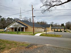 Boyd Hill Baptist Church | |
 | |
| Coordinates: 34°56′23″N81°02′39″W / 34.93972°N 81.04417°W | |
| Country | United States |
| State | South Carolina |
| County | York |
| City | Rock Hill |
Boyd Hill was an unincorporated community in western York County, South Carolina, but was annexed into the city of Rock Hill in the late 1940s. [1] Boyd Hill is now a neighborhood of Rock Hill located at latitude 34.9396, longitude -81.0442 off of Cherry Road in the southwestern portion of the city. The elevation of the neighborhood is 641 feet (195 m). [2]