
Mecklenburg is a historical region in northern Germany comprising the western and larger part of the federal-state Mecklenburg-Western Pomerania. The largest cities of the region are Rostock, Schwerin, Neubrandenburg, Wismar and Güstrow.
A gord is a medieval Slavonic fortified settlement, usually built on strategic sites such as hilltops, riverbanks, lake islets or peninsulas between the 6th and 12th centuries in Central and Eastern Europe. A typical gord consisted of a group of wooden houses surrounded by a wall made of earth and wood, and a palisade running along the top of the bulwark.

Lubmin is a coastal resort in the German state of Mecklenburg-Vorpommern. Lubmin is situated near Greifswald and on the Bay of Greifswald.

Garz is a town in the county of Vorpommern-Rügen in the German state of Mecklenburg-Vorpommern. The town is administered by the Amt of Bergen auf Rügen, in the town of the same name.

Burg Stargard is a small town in the Mecklenburgische Seenplatte district, in Mecklenburg-Vorpommern, Germany. It is situated 8 kilometres (5.0 mi) southeast of Neubrandenburg.
Trinwillershagen is a municipality in the north of Mecklenburg-Vorpommern, Germany. It is situated in the Vorpommern-Rügen district. Trinwillershagen used to be part of the Amt Ahrenshagen, since 1 January 2005 it is part of Amt Barth.

Jarmen is a town in the Vorpommern-Greifswald district, in Mecklenburg-Western Pomerania, Germany. It is situated on the southern bank of the river Peene, 20 km south of Greifswald, in the historic region of Pomerania.

Rerik is a town in the Rostock district, in Mecklenburg-Western Pomerania, Germany. It is situated on the Baltic Sea coast, 19 km west of Bad Doberan, and 27 km northeast of Wismar. In 1938, Rerik was named after the old Slavic-Scandinavian settlement Reric, that was believed to have been situated near present Rerik.

Tribsees is a municipality in the Vorpommern-Rügen district, in Mecklenburg-Vorpommern, in north-eastern Germany. It is situated 33 kilometres (21 mi) southwest of Stralsund, and 40 kilometres (25 mi) east of Rostock.

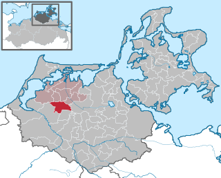
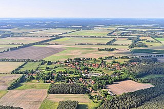
Picher is a municipality in the district of Ludwigslust-Parchim in the state of Mecklenburg-Western Pomerania, Germany. Picher's population is 642.
Bresegard may refer to two municipalities in the district of Ludwigslust, Mecklenburg-Vorpommern, Germany:

Bresegard bei Eldena is a municipality in the Ludwigslust-Parchim district, in Mecklenburg-Vorpommern, Germany.
Groß Krams is a municipality in the Ludwigslust-Parchim district, in Mecklenburg-Vorpommern, Germany. It is part of the collective municipality of Hagenow-Land.

Löcknitz is a municipality in the Vorpommern-Greifswald district, in Mecklenburg-Vorpommern, in north-eastern Germany, located in the historic region of Pomerania, 12 km (7 mi) west of the German-Polish border and 25 km (16 mi) west of Szczecin. It is the seat of the Amt Löcknitz-Penkun.

Luckow is a municipality in the Vorpommern-Greifswald district, in Mecklenburg-Vorpommern, Germany. The municipality is administered by the office Am Stettiner Haff with seat in Eggesin.

Zirkow is a municipality on the German Baltic Sea island of Rügen in the county of Vorpommern-Rügen in the state of Mecklenburg-Western Pomerania.

Glowe is a municipality in the Vorpommern-Rügen district, in Mecklenburg-Vorpommern, Germany. It is a state-recognised resort.
Ludwigslust-Land is an Amt in the Ludwigslust-Parchim district, in Mecklenburg-Vorpommern, Germany. The seat of the Amt is in Ludwigslust, itself not part of the Amt.
The County of Gützkow was a county located within the Duchy of Pomerania in the High Middle Ages. It was established in 1129 from the Castellany of Gützkow. Following the death of its last count in 1359, it was re-established into the Vogtei Gützkow.

Historical Western Pomerania, also called Cispomerania,Fore Pomerania, Front Pomerania or Hither Pomerania, is the western extremity of the historic region of Pomerania forming the southern coast of the Baltic Sea, located mostly in north-eastern Germany, with a small portion in north-western Poland.


