Nadeau Township is a civil township of Menominee County in the U.S. state of Michigan. The population was 1,160 at the 2000 census.

The United Counties of Prescott and Russell are consolidated counties located in the Canadian province of Ontario. Its county seat is L'Orignal. It was created as a result of a merger between Russell County and Prescott County in 1820. It is located in Eastern Ontario, in the wedge-shaped area between the Ottawa River and St. Lawrence River, approximately 55 km east of the City of Ottawa.

Oxford County is a regional municipality in the Canadian province of Ontario. Highway 401 runs east–west through the centre of the county, creating an urban industrial corridor with more than half the county's population, spanning 25 km between the Toyota auto assembly plant in Woodstock and the CAMI General Motors auto assembly plant in Ingersoll. The local economy is otherwise dominated by agriculture, especially the dairy industry.
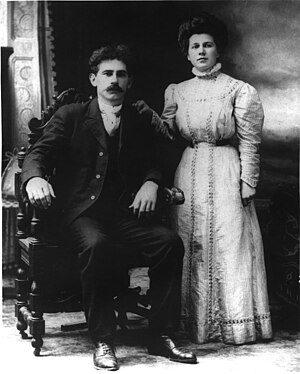
Jean-Serge Brisson is a Canadian political activist, tax reform advocate, politician, and author. He is a former leader of the Libertarian Party of Canada and gained national notoriety in the 1990s for his opposition to businesses being forced to collect the provincial sales tax (PST) without being remunerated.
Russell County is a historic county in the Canadian province of Ontario.

Glengarry—Prescott—Russell is a federal electoral district in Ontario, Canada, that has been represented in the House of Commons of Canada since 1953.

Cumberland is an unincorporated village on the Ottawa River in Cumberland Ward, in the city of Ottawa. It was part of the historic Township of Cumberland, and was originally part of Russell County, joining the Region of Ottawa-Carleton in the 1960s. In 1999, the township became the short lived City of Cumberland which amalgamated into the City of Ottawa in 2001. While the community of Cumberland was located in the City of Cumberland, it only made up a small percentage of the population of the city.

Embrun, UN/LOCODE: CA EBU, is a community in the Canadian province of Ontario in the Eastern Ontario region. Embrun is also part of the National Capital Region. Embrun is part of the larger Russell Township in Prescott and Russell United Counties. In 2011, the urban area of Embrun had a total population of 6,380, but if surrounding agricultural areas closely tied to the community are included, the population figure rises to 8,669. This makes Embrun the largest community in the Township of Russell.

Augusta Township is a township in the United Counties of Leeds and Grenville, located in eastern Ontario, Canada. Augusta is situated along the Saint Lawrence River, and extends back into rural hamlets. The township is located between the city of Brockville to the west, and the town of Prescott to the east.
March Township is a geographic township and former municipality originally part of Carleton County in eastern Ontario, Canada. It is currently part of the City of Ottawa. It is located in the western part of the county, bordered to the northwest by Torbolton Township, to the southwest by Huntley Township, to the east by Nepean, to the south by Goulbourn Township and to the north by the Ottawa River. According to the Canada 2001 Census, the Township had a population of approximately 26,650.
Huntley is a former incorporated and now geographic township originally part of Carleton County in eastern Ontario, Canada.

James Noxon Lapum was a Canadian politician.

Clifford is an unincorporated community in the Town of Minto in Wellington County in Southwestern Ontario, Canada. It is on Ontario Highway 9 and Coon Creek, a stream in the Saugeen River drainage basin.

The Township of Russell is a municipal township, located south-east of Canada's capital of Ottawa in eastern Ontario, in the United Counties of Prescott and Russell, on the Castor River.

St. Albert is a small town in The Nation Township in Eastern Ontario, Canada. It is located on the South Nation River, 10 km southwest of Casselman and 17 km southeast of Embrun.
Kenmore is a rural community in Osgoode Ward in the southeastern corner of the City of Ottawa, Ontario, Canada. Prior to amalgamation in 2001, it was located in Osgoode Township. It consists of two small residential neighbourhoods and farmland. Notable features include Kenmore Bicentennial Park, Kenmore Community Centre, and the Castor River, a tributary of the South Nation River. According to the Canada 2011 Census, the population of the surrounding blocks was 501.
Glengarry—Prescott—Russell is a provincial electoral district in eastern Ontario, Canada. It elects one member to the Legislative Assembly of Ontario.

Cheese has been produced in Canada since Samuel de Champlain brought cows from Normandy in either 1608 or 1610, The Canadienne breed of cattle is thought to descend from these and other early Norman imports. New France developed soft, unripened cheeses characteristic of its metropole, France. Later British settlers and Loyalists fleeing the American Revolution introduced British styles such as cheddar.
Riverbank is an unincorporated rural community in Mapleton Township, Wellington County, Ontario, Canada. Prior to 1999, Riverbank was located in Maryborough Township.
Cumnock is an unincorporated rural community in Centre Wellington Township, Wellington County, Ontario, Canada. Cumnock was part of Nichol Township until 1999.