
State Route 21 (SR 21) is a north–south state highway in northeastern Ohio. The southern terminus is north of Strasburg on U.S. Route 250. The northern terminus is at an interchange with Interstate 77 in Cuyahoga Heights.

U.S. Route 42 is an east–west United States highway that runs southwest–northeast for 350 miles (560 km) from Louisville, Kentucky to Cleveland, Ohio. The route has several names including Pearl Road from Cleveland to Medina in Northeast Ohio, Reading Road in Cincinnati, Cincinnati and Lebanon Pike in southwestern Ohio and Brownsboro Road in Louisville. Traveling northeast, the highway ends in downtown Cleveland and traveling southwest ends in Louisville.

U.S. Route 322 is a 494-mile-long (795.0 km), east–west United States Highway, traversing Ohio, Pennsylvania, and New Jersey. The road is a spur of US 22 and one of the original highways from 1926. A portion of it at one time was concurrent with the Lakes-to-Sea Highway.
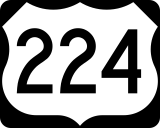
U.S. Route 224 (US 224) is a spur of US 24 that runs through the states of Indiana, Ohio and Pennsylvania. It currently runs for 289 miles (465 km) from US 24 in Huntington, Indiana, east to US 422 Business and Pennsylvania Route 18 (PA 18) in New Castle, Pennsylvania. It goes through the cities of Canfield, Ohio, Akron, Ohio, and Findlay, Ohio. In Northeast Ohio, US 224 is located a short distance north of the Western Reserve's southern boundary.
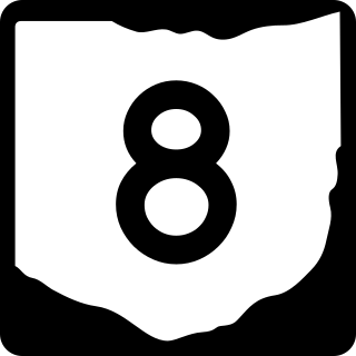
State Route 8 is a road in the U.S. state of Ohio. SR 8 stretches from the eastern junction of Interstate 76 (I-76) and I-77 in Akron to Public Square in Cleveland. It is one of nine routes to enter downtown Cleveland at Public Square. The route's first few miles are as a limited-access freeway from I-76 and I-77, heading north. The freeway section of the highway has 16 interchanges, and is cosigned with SR 59 for a short distance from Perkins Street in Akron to Front Street in Cuyahoga Falls. The freeway portion ends at I-271 in Macedonia.

State Route 59 is an east–west state highway in the U.S. state of Ohio, serving the Akron metropolitan area. The western terminus of State Route 59 is in downtown Akron at a partial interchange with the Interstate 76/Interstate 77 concurrency, and the eastern terminus is at State Route 5, 0.5 miles (0.80 km) east of Ravenna. The route is approximately 23 miles (37 km) long and was certified in 1969 over what had previously been part of SR 5. It serves as a major or as the primary east–west roadway for the cities of Cuyahoga Falls, Kent, Ravenna, and Stow, the village of Silver Lake, and Franklin and Ravenna Townships.
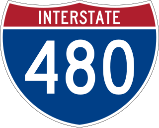
Interstate 480 (I-480) is a 41.77-mile-long (67.22 km) auxiliary Interstate Highway of I-80 in the US state of Ohio that passes through much of the Greater Cleveland area, including the southern parts of the city of Cleveland. I-480 is one of 13 auxiliary Interstate Highways in the state. The western terminus of I-480 is an interchange with I-80 and the Ohio Turnpike in North Ridgeville. Starting east through suburban Lorain County, I-480 enters Cuyahoga County, then approaches Cleveland Hopkins International Airport, which serves as the primary airport for Northeast Ohio. After traversing Brooklyn and crossing the Cuyahoga River on the Valley View Bridge, the highway continues east toward the communities of Bedford and Twinsburg toward its eastern terminus at I-80 and the Ohio Turnpike in Streetsboro. On its route, I-480 crosses I-71 and I-77 and is concurrent with I-271 for approximately four miles (6.4 km). In 1998, the governor of Ohio, George Voinovich, gave I-480 the additional name of the "Senator John Glenn Highway", in honor of the former NASA astronaut and US senator from Ohio for 24 years.

U.S. Route 422 (US 422) is a 271-mile-long (436 km) spur route of US 22 split into two segments in the U.S. states of Ohio and Pennsylvania. The western segment of US 422 runs from downtown Cleveland, Ohio, east to Ebensburg, Pennsylvania. The eastern segment, located entirely within Pennsylvania, runs from Hershey east to King of Prussia, near Philadelphia. US 422 Business serves as a business route into each of four towns along the way.

Ohio State Route 176 is a route linking Interstate 71 (I-71) in Cleveland to I-77 near Richfield. The freeway portion is known as the Jennings Freeway, while the at-grade portion is mostly Broadview Road.

State Route 532 is a north–south state highway in the northeastern portion of the U.S. state of Ohio. The highway runs from its southern terminus at a signalized intersection with U.S. Route 224 (US 224) on the Summit–Portage county line approximately 0.75 miles (1.21 km) south of Mogadore on the border of Springfield Township and Suffield Township to its northern terminus at a diamond interchange with Interstate 76 (I-76), at its exit 29 within the Tallmadge city limits.
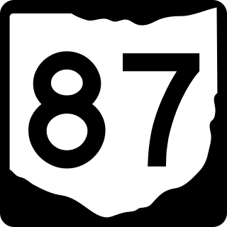
State Route 87 is an east–west highway in northeastern Ohio, a U.S. state. Its western terminus is at Public Square in downtown Cleveland. It is one of 9 other routes to enter downtown Cleveland at Public Square. 87 ends at an intersection with SR 5 and SR 7 in Kinsman Township.

State Route 43 is a mainly north–south state highway that runs through the northeastern quadrant of the U.S. state of Ohio. Its southern terminus is at a signalized intersection with State Route 7 along the Ohio River in Steubenville, and its western terminus is approximately 123 miles (198 km) to the north at Public Square in Cleveland. It is one of ten routes to enter Public Square.
State Route 10 is a state highway located in and around Cleveland, Ohio. The route's western terminus is in Eaton Township in Lorain County, and the eastern terminus is in Cleveland's University Circle neighborhood.
State Route 17 is an east–west highway in Northeast Ohio running from North Olmsted at State Route 10 to State Route 43 in Bedford Heights. The entire route has been paralleled by Interstate 480 and has junctions with this interstate via numerous cross streets such as Clague Road, Tiedeman Road, and Warrensville Center Road, and also via State Route 94 and State Route 14. It also has two direct junctions with the interstate. State Route 17 provides access to many industrial and commercial areas in this area of Cleveland.

State Route 252 (SR 252) is a 23.04-mile (37.08 km) long north–south state highway in the northern portion of the U.S. state of Ohio. The southern terminus of this state route is at a signalized intersection that marks the western split of the concurrency of SR 18 and SR 57 nearly 1.25 miles (2.01 km) northwest of the city limits of Medina. SR 252 has its northern terminus at a T-intersection with U.S. Route 6 (US 6) in the western Cleveland suburb of Bay Village.

U.S. Route 6 (US 6) is a part of the United States Numbered Highway System that runs from Bishop, California, to Provincetown, Massachusetts. In Ohio, the road runs west–east from the Indiana state line near Edgerton to the Pennsylvania state line near Andover. The 248.002 miles (399.121 km) that lie in Ohio are maintained by the Ohio Department of Transportation (ODOT). US 6 serves the major cities of Sandusky, Lorain, and Cleveland. The highway is also called the Grand Army of the Republic Highway to honor the Union forces of the U.S. Civil War. The alternate name was designated in 1953.

State Route 174 (SR 174) is a 9.56-mile (15.39 km) long north–south state highway in the northeastern quadrant of the U.S. state of Ohio. The highway runs from its southern terminus at a T-intersection with Old Mill Road in a quiet residential neighborhood in the eastern Cleveland suburb of Gates Mills to its northern terminus at a signalized intersection with U.S. Route 20 (US 20) in Willoughby that doubles as the eastern terminus of SR 640.

State Route 175 (SR 175) is a 15.70-mile (25.27 km) long north–south state highway in the northeastern part of the U.S. state of Ohio. The southern terminus of SR 175 is at a signalized intersection with SR 43 in Solon. Its northern terminus is at a signalized intersection with SR 283 in Euclid.
US Highway 25 (US 25) was a part of the United States Numbered Highway System in the state of Ohio that ran from its present terminus near Covington, Kentucky, to its Michigan continuation. By the time it was decommissioned in 1973, all but the section north of Cygnet ran concurrently with Interstate 75 (I-75).
