
The Macedonian-Adrianopolitan Volunteer Corps was a volunteer corps of the Bulgarian Army during the Balkan Wars. It was formed on 23 September 1912 and consisted of Bulgarian volunteers from Macedonia and Thrace, regions still under Ottoman rule, and thus not subject to Bulgarian military service.
Kalochori, is a small rural village, part of the municipal unit of Kastoria, Kastoria regional unit, Greece. Kalochori is also located 14 kilometers away from the city of Kastoria and 14 kilometers away from the village of Nestorio. It was a part of the former municipal unit of Mesopotamia. The village has an elevation of 721 meters above sea level.
Little Sofia is a designation applied to localities outside the modern borders of Bulgaria; it is used in the late Ottoman era to emphasize the population's strong Bulgarian national identity. The term most often refers to villages in the region of Macedonia during the late Ottoman era and for a brief period after.

Vasil Hristov Chekalarov or Vasil Tcakalarov was a Bulgarian revolutionary and one of the leaders of Internal Macedonian Revolutionary Organisation in Macedonia. H. N. Brailsford described Chekalarov as the "cruel but competent general" of the Southern insurgents in Macedonia. He considered the adherents of Macedonist ideas to be Grecomans.
Laki is a village in Hadzhidimovo Municipality, in Blagoevgrad Province, Bulgaria.

Nova Lovcha is a village in Hadzhidimovo Municipality, in Blagoevgrad Province, Bulgaria.
Novo Leski is a village in Hadzhidimovo Municipality, in Blagoevgrad Province, Bulgaria.
Paril is a village in Hadzhidimovo Municipality, in Blagoevgrad Province, Bulgaria.

Vrutok is a village in the municipality of Gostivar, North Macedonia. The village is situated on the slopes of Mount Bistra by the Korab mountains, near the town of Gostivar.

Kudelin is a village in the Bregovo Municipality of the Vidin Province of Bulgaria.
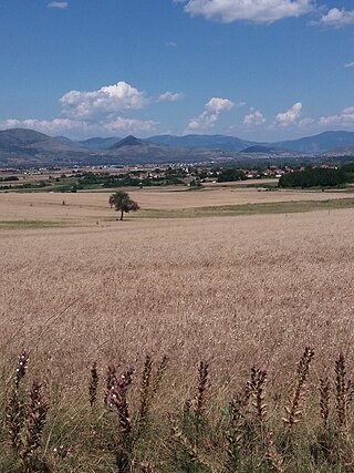
Zaim Chiflik is a former village in the Gotse Delchev Municipality, Blagoevgrad District, Bulgaria. The village was situated about 3 kilometers south of Gotse Delchev, located alongside the former military airport of Musomishta.
Golemo Konjari is a village in Municipality of Prilep, North Macedonia.
Ossa, known before 1926 as Visoka (Βυσσώκα), is a village and a community of the Lagkadas municipality. Before the 2011 local government reform it was part of the municipality of Vertiskos, of which it was a municipal district. The 2021 census recorded 486 inhabitants in the community of Ossa. The community of Ossa covers an area of 59.12 km2.

Selci is a village in Municipality of Struga, North Macedonia.

Dimitar Arsov Pindzhurov was a Bulgarian revolutionary, and activist of the Internal Macedonian-Adrianople Revolutionary Organization (IMARO) and a Bulgarian teacher.
Platanakia, known before 1922 as Sugova / Shugovo is a village in Serres, Greece. It is situated in the municipal unit of Kerkini, in the Sintiki municipality, within the Serres region of Central Macedonia. The village had 411 inhabitants according to the 2021 census.

Sotir Atanasov Yanakiev was a Bulgarian Army officer, revolutionary and voivode of the Supreme Macedonian-Adrianople Committee.
Kuridere is a village in the municipality of Gradsko, North Macedonia.

