Burbank, South Dakota | |
|---|---|
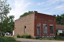 The old Bank of Burbank building | |
 Burbank Location within the state of South Dakota  Burbank Burbank (the United States) | |
| Coordinates: 42°44′46″N96°49′58″W / 42.74611°N 96.83278°W | |
| Country | United States |
| State | South Dakota |
| County | Clay |
| Area | |
• Total | 0.31 sq mi (0.80 km2) |
| • Land | 0.31 sq mi (0.80 km2) |
| • Water | 0 sq mi (0.00 km2) |
| Elevation | 1,142 ft (348 m) |
| Population | |
• Total | 93 |
| • Density | 303.0/sq mi (116.97/km2) |
| Time zone | UTC-6 (Central (CST)) |
| • Summer (DST) | UTC-5 (CDT) |
| ZIP codes | 57010 |
| FIPS code | 46-08500 |
| GNIS feature ID | 2813011 [2] |
Burbank is an unincorporated community and a census-designated place (CDP) in Clay County, South Dakota, United States. [2] The population was 93 at the 2020 census. [4]
Contents
Burbank was laid out in 1873, and it is named in honor of John A. Burbank, the fourth Governor of Dakota Territory. [5]
