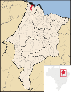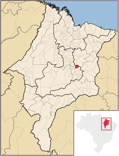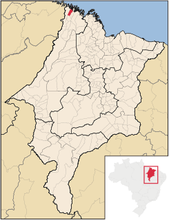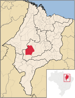
São Vicente Ferrer is a Brazilian municipality in the state of Maranhão. The estimated population is 20,678 (2015) and the total area is 390 km2.

Graça Aranha is a municipality in the state of Maranhão, Brazil, founded in 1959.

Bacabal is a city in Maranhão, Brazil. It is located approximately 250 km south of the state capital São Luís. The city proper has a population of 104,633. It is the seat of the Roman Catholic Diocese of Bacabal.

Cândido Mendes is a Brazilian municipality in the state of Maranhão. It has a population of 19,702 (2015) and an area of 1641 km2.

Governador Archer is a Brazilian municipality in the state of Maranhão. Its population is 10,591 (2015) and its total area is 446 km2.

Luís Domingues is a Brazilian municipality in the state of Maranhão. Its population is 6,788 (2015) and its area is 464 km2.

Maranhãozinho is a Brazilian municipality in the state of Maranhão. Its population is 15,734 (2015) and its area is 761 km2.

Chapadinha is a Brazilian municipality in the state of Maranhão. It is located 235 km south-east of the state capital São Luís. The population is 77,684 (2015) and the total area is 3,247 km2.

Nova Iorque is a Brazilian municipality in the state of Maranhão. Its population is 4,592 (2015) and the total area is 977 km2.

Jenipapo dos Vieiras is a Brazilian municipality in the state of Maranhão. Its population is 16,124 (2015) and its total area is 1,963 km2.

Açailândia is a Brazilian municipality in the western part of Maranhão State, at an elevation of 787 feet (240 m). Its population in 2010 was estimated to be 104,013, making it the eighth largest city in the state. The name of the city means "land of the açaí."

Grajaú is a municipality in the Brazilian state of Maranhão. Founded on 29 April 1811, its population in 2015 was of 67,626. The total area is 8,864 km2.
Timon is a Brazilian municipality in the State of Maranhão. The population is 164,869 (2015) and the total area is 1765 km2.

Dom Silvério is a municipality in the Brazilian state of Minas Gerais.
Arame is a municipality in the state of Maranhão in the Northeast region of Brazil.

Santana do Maranhão is a municipality in the state of Maranhão in the Northeast region of Brazil.
São Bernardo, Maranhão is a municipality in the state of Maranhão in the Northeast region of Brazil. It is located at a latitude 03º21'41 "South and a longitude 42º25'04" West, being at an altitude of 43 meters. Its population is 28.020 inhabitants, according to estimate of the IBGE in 2016 and an extension territorial 1.006,920 km². Foundation Day is 29 March 1938
Buriti Bravo is a municipality in the state of Maranhão in the Northeast region of Brazil.
Brejo is a municipality in the state of Maranhão in the Northeast region of Brazil.
Milagres do Maranhão is a municipality in the state of Maranhão in the Northeast region of Brazil.


