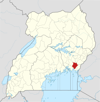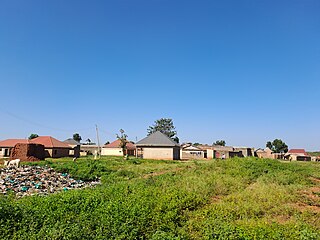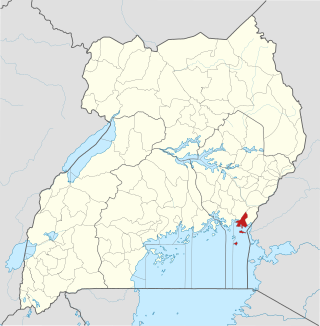
Bugiri District is a district in Eastern Uganda. Like most other Ugandan districts, it is named after its 'chief town', Bugiri, where the district headquarters are located.

Iganga District is a district in the Eastern Region of Uganda. The town of Iganga is the site of the district headquarters.
Bugiri is a town in the Eastern Region of Uganda. It is the chief town of Bugiri District, and the district headquarters are located there. The town was elevated to Municipal Council status in 2019.

Iganga is a town in the Eastern Region of Uganda. It is the main municipal, administrative, and commercial center of Iganga District.
Kamuli is a town in the Eastern Region of Uganda. It is the main municipal, administrative, and commercial centre of Kamuli District, and the district headquarters are located there. The district is named after the town.
Mayuge is a town in the Eastern Region of Uganda. It is the location of the headquarters of Mayuge District.
Kaliro is a town in the Eastern Region of Uganda. It is the main municipal, administrative, and commercial center of Kaliro District and the site of the district headquarters.
Buwenge is a town in the Eastern Region of Uganda. It was proposed as the headquarters of Jinja District in 2009 when local district leaders were lobbying government to grant Jinja city status. However, when the district headquarters were relocated 10 years later, Kagoma, a smaller community in Buwenge sub-county was selected as the new district headquarters.

Namutumba District, sometimes referred to as Busiki District is a district in Eastern Uganda. It is named after its 'chief town', Namutumba, where the district headquarters are located.
Namutumba is a town in the Namutumba District of the Eastern Region of Uganda. It is the main municipal, administrative, and commercial centre of the district.

Buyende District is a district in Eastern Uganda. It is named after Buyende, the 'chief town' in the district and the location of the district headquarters.
Buyende is a town in the Eastern Region of Uganda. It is the main municipal, administrative, and commercial centre of Buyende District.

Namayingo District is a district in Eastern Uganda. The district is named after its 'chief town', Namayingo, where the district headquarters are located.
Luuka Town, also known as Luuka Municipality, but often referred to simply as Luuka, is a town in Eastern Uganda. Prior to 1 July 2010, Luuka Town was known as "Kiyunga". It is the principal political, administrative and commercial center of Luuka District.
Namayingo is a town in Namayingo District in the Eastern Region of Uganda. It is the site of the district headquarters.
Musita is a town in Mayuge District, in the Eastern Region of Uganda.
Jinja–Kamuli–Mbulamuti Road is a road in Eastern Uganda, connecting the towns of Jinja in Jinja District to Kamuli in Kamuli District. A spur of the road extends from Kamuli to Mbulamuti on the shores of the Victoria Nile.
The Iganga–Tirinyi–Kamonkoli–Mbale Road, also known as the Nakalama–Tirinyi–Kamonkoli–Mbale Road, is a road in the Eastern Region of Uganda, connecting the towns of Iganga in Iganga District, Namutumba in Namutumba District, Tirinyi in Kibuku District, Kamonkoli in Budaka District, and Mbale in Mbale District.
The Jinja–Iganga–Bugiri–Tororo Road is a road in the Eastern Region of Uganda, connecting the towns of Jinja and Tororo. Sometimes referred to as Tororo–Jinja Road, it is a busy transport corridor, connecting traffic from neighboring Kenya, and northeastern Uganda to Jinja, a major commercial and industrial center, and ultimately to Kampala, the country's capital and points beyond.


