Caballococha | |
|---|---|
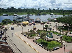 Main square | |
| Nicknames: Centinela de la frontera (Sentinel of the border), Ciudad mediterránea (Mediterranean city) | |
 Caballococha Location of Caballococha in Peru | |
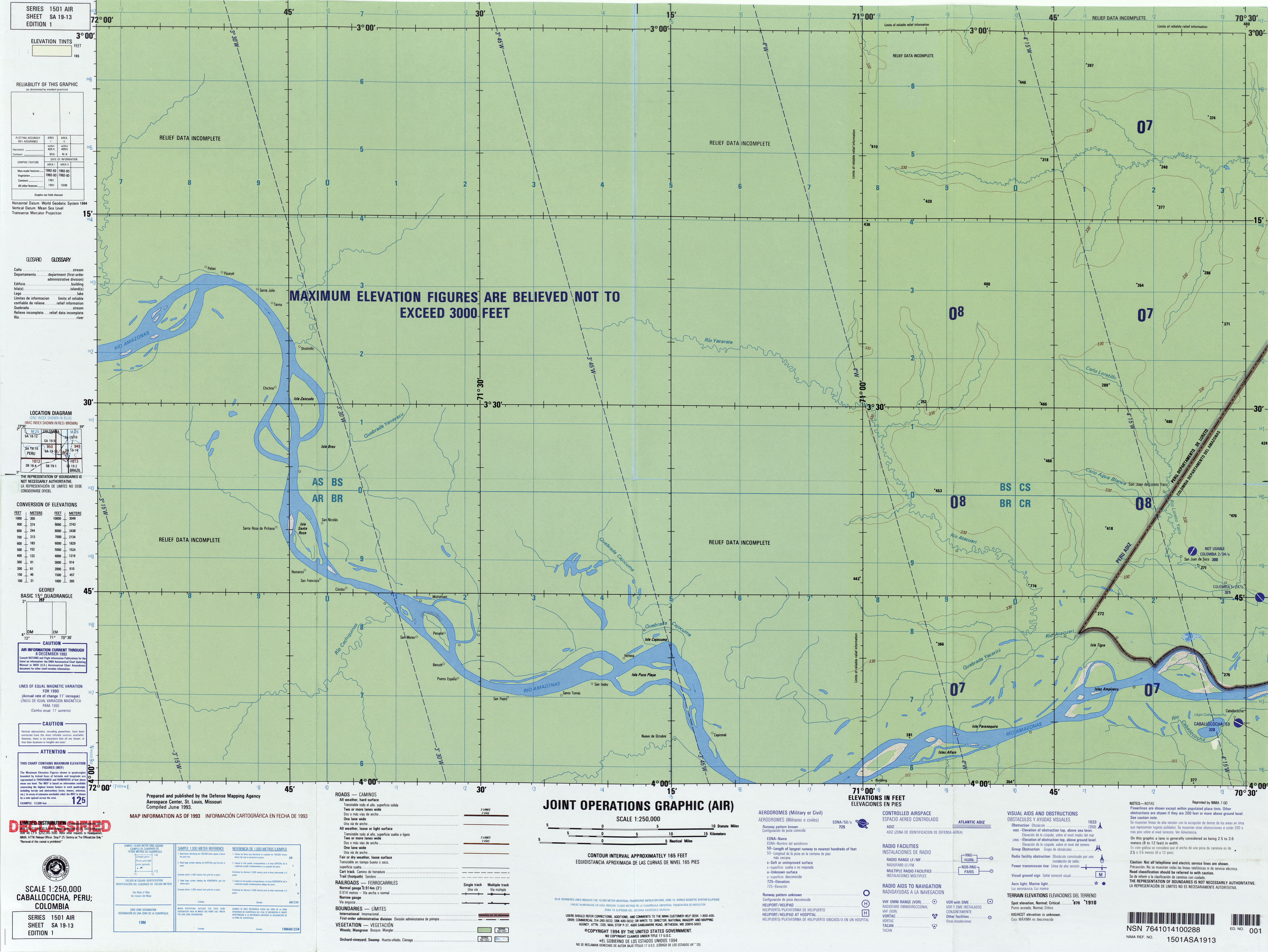
| Coordinates: 03°54′21″S070°30′59″W / 3.90583°S 70.51639°W | |
| Country | |
| Department | Loreto |
| Province | Mariscal Ramón Castilla |
| District | Ramón Castilla |
| Founded | 1845 |
| Population (2014) | |
• Total | 25,000 |
| Demonym(s) | Caballocochano, -na |
| Time zone | UTC-5 (PET) |
Caballococha [1] (Cabalo Cocha [2] ) is a town in the Loreto Region in northeastern Peru, located on the Amazon River and right across the river from Colombia.
Contents
It is the capital of both Mariscal Ramón Castilla Province and Ramón Castilla District. As of 1993 [update] , it had a population of 4,028 (1993). [3]
The name of the town is a combination of Spanish and Quechua, meaning "Horse Lake", a nearby body of water. It is a poor town and people live by farming, trading, and fishing. Television has arrived as has the internet and there is even an internet cafe in the market square. Other than some motorcycle/taxis, there are only one or two vehicles in town. There is an airport under construction, but it is difficult to imagine it will see much use.[ citation needed ]
The town saw itself participating in the Leticia Incident, an event which led to war between Peru and Colombia in 1932. Today a statue exists in the main square dedicated to the soldiers who had to carry ammo and equipment through the jungle during the war. [4]