The Oise is a river of Belgium and France, flowing for 341 kilometres (212 mi) from its source in the Belgian province of Hainaut, south of Chimay. It crosses the border with France after about 20 kilometres (12 mi). It flows into the Seine at Conflans-Sainte-Honorine, a north-western suburb of Paris. Its main tributary is the Aisne. It gave its name to the French departments of Oise and Val-d'Oise.
Sainte-Honorine is part of the name of several communes in France:

The canton of Trévières is an administrative division of the Calvados département, in northwestern France. Its chief town is Trévières. Its borders were modified at the French canton reorganisation which came into effect in March 2015

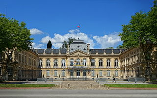
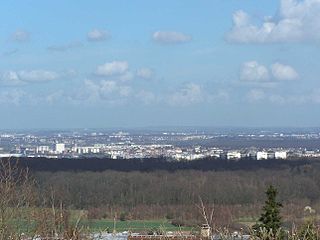
Conflans-Sainte-Honorine is a commune in the Yvelines department in the Île-de-France region in north-central France. It is located in the north-western suburbs of Paris, 24.2 km (15.0 mi) from the center of Paris.

The arrondissement of Saint-Germain-en-Laye is an arrondissement of France in the Yvelines department in the Île-de-France region. Since the January 2017 reorganization of the arrondissements of Yvelines, it has 45 communes.
The following is a list of the 21 cantons of the Yvelines department, in France, following the French canton reorganisation which came into effect in March 2015:
Achères is a commune in the Yvelines department in north-central France. It is located 23.7 km (14.7 mi) from the center of Paris.

Gargenville is a commune in the Yvelines department in the Île-de-France region in north-central France, 45km to the center of Paris. It is part of the Parc naturel régional du Vexin français. With the neighborhing commune of Issou, it forms an urban area of around 10000 inhabitants.

Conflans-Sainte-Honorine is a railway station serving Conflans-Sainte-Honorine, a northwestern suburb of Paris, France. It is situated on the lines from Saint-Lazare to Pontoise and from Saint-Lazare to Mantes-la-Jolie via Meulan.

Crash Test Aglaé is a French comedy road movie directed and written by Eric Gravel.

Neuville–Université is a train station in Neuville-sur-Oise, in Val d'Oise department, in France.
The Je Sers, is a chapel-boat for boatmen, dedicated to Saint-Nicholas. It is moored at The Quai de la Republique of Conflans-Sainte-Honorine (France) and registered at the Inventaire général du patrimoine culturel.
The canton of Évrecy is an administrative division of the Calvados department, northwestern France. Its borders were modified at the French canton reorganisation which came into effect in March 2015. Its seat is in Évrecy.
The canton of Athis-de-l'Orne is an administrative division of the Orne department, northwestern France. Its borders were modified at the French canton reorganisation which came into effect in March 2015. Its seat is in Athis-Val-de-Rouvre.
The canton of Le Chesnay is an administrative division of the Yvelines department, northern France. Its borders were modified at the French canton reorganisation which came into effect in March 2015. Its seat is in Le Chesnay.
The canton of Rambouillet is an administrative division of the Yvelines department, northern France. Its borders were modified at the French canton reorganisation which came into effect in March 2015. Its seat is in Rambouillet.
The canton of Saint-Calais is an administrative division of the Sarthe department, northwestern France. Its borders were modified at the French canton reorganisation which came into effect in March 2015. Its seat is in Saint-Calais.
The Communauté urbaine Grand Paris Seine et Oise is the communauté urbaine, an intercommunal structure, covering the western suburbs of Paris. It is located in the Yvelines department, in the Île-de-France region, northern France. It was created in January 2016 by the merger of the previous communautés d'agglomération Mantes-en-Yvelines, Deux Rives de la Seine, Poissy-Achères-Conflans-Sainte-Honorine, Seine & Vexin and the communautés de communes Coteaux du Vexin and Seine-Mauldre. Its population was 411,100 in 2014. Its seat is in Aubergenville.