 Carter Bar in 1933
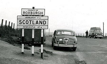 Carter Bar in 1960
 Carter Bar, 2009
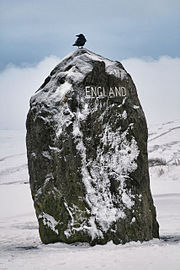 Boundary stone
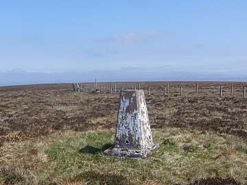 Carter Bar trig stone (Triangulation station)
 The Scottish Borders from Carter Bar
 Road viewpoint in 2005
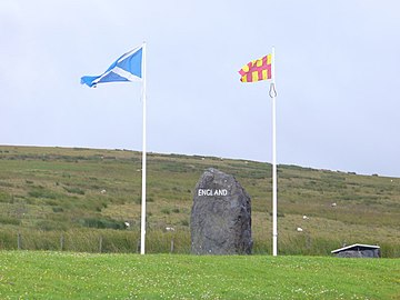 Flags of Scotland and Northumberland
Carter Bar | |
|---|---|
 Carter Bar Location in the United Kingdom | |
| Coordinates: 55°21′16″N02°28′39″W / 55.35444°N 2.47750°W | |
| Grid position | NT697068 |
| Location | United Kingdom |
| Elevation | 418 metres (1,371 ft) |
Carter Bar is a pass in the Cheviot Hills, on the Anglo-Scottish border. It lies north-east of Carter Fell at the head of Redesdale, and is crossed by the A68 road as it runs north towards Jedburgh and Teviotdale.
Contents
The name "Carter Bar" is relatively modern, and refers to a toll-gate that once stood here. Historically, the pass was known as the Redeswire, from the Scots word swire meaning "col" or "pass". [2] The Redeswire Fray, the last skirmish between England and Scotland, was fought here in 1575. [3]


