Chattanooga, Ohio | |
|---|---|
 Chattanooga  Chattanooga | |
| Coordinates: 40°38′13″N84°47′06″W / 40.63694°N 84.78500°W | |
| Country | United States |
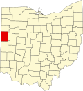
| State | Ohio |
| County | Mercer |
| Township | Liberty |
| Elevation | 837 ft (255 m) |
| ZIP Code | 45882 (Rockford) |
| GNIS feature ID | 1039008 [1] |
Chattanooga is an unincorporated community in Mercer County, Ohio, United States.